Peru, from "Court Game of Geography" 1838 - 1855
0:00
0:00
drawing, print, paper, ink
#
drawing
# print
#
paper
#
ink
Dimensions: 3 3/4 × 2 1/2 in. (9.5 × 6.4 cm)
Copyright: Public Domain
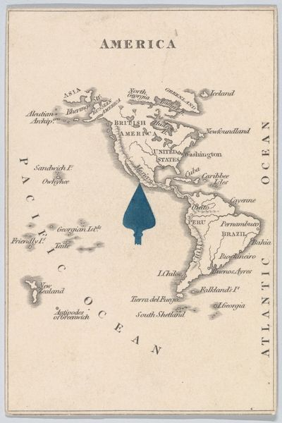
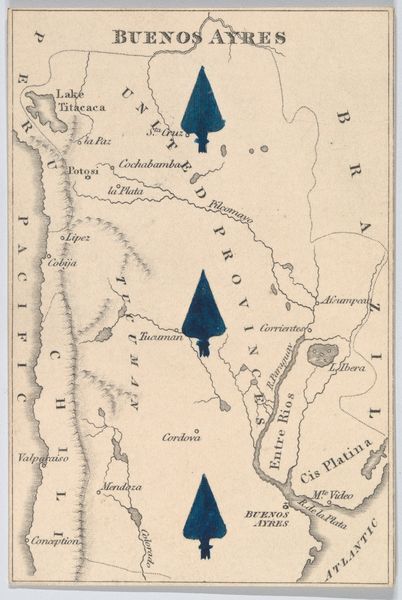
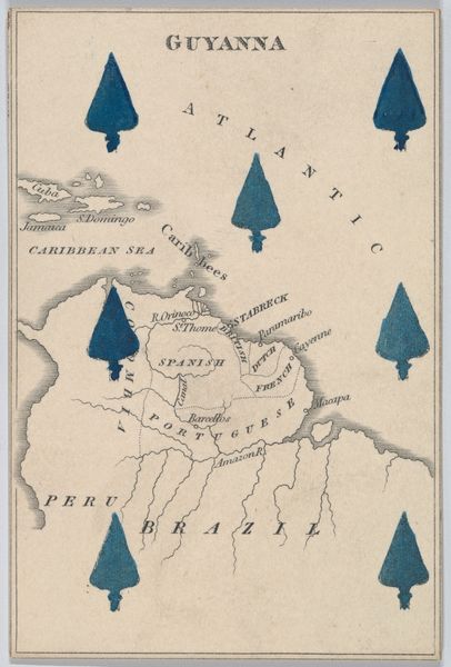
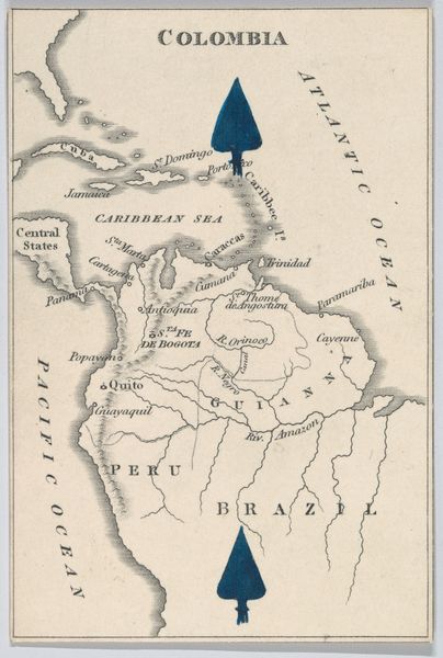
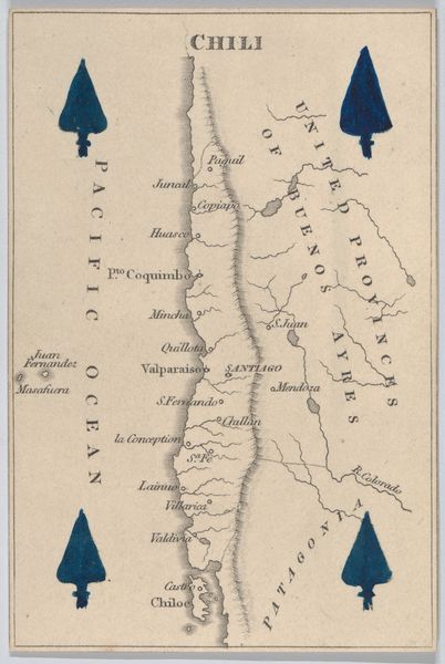
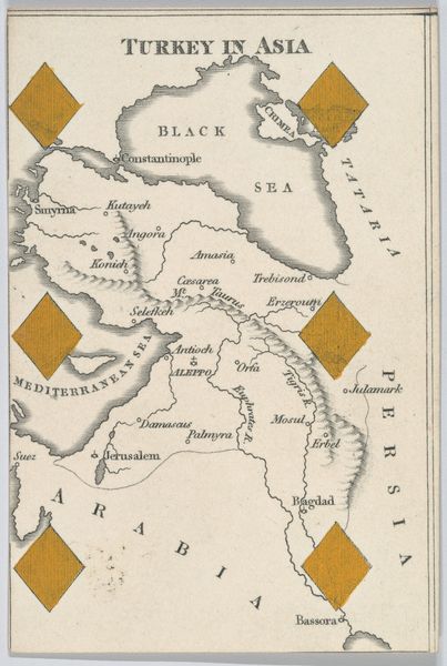
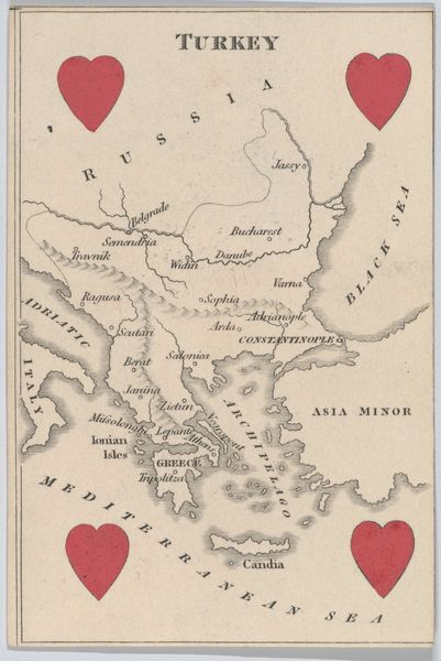
This lithograph of Peru, part of a geographical card game by William and Henry Rock, presents us with more than just a map. Note the prominent arrowheads encircling the country, acting as directional pointers. The arrow, since antiquity, has been a symbol of direction, force, and even fate. One might recall the arrows of Cupid, driving us towards love, or the arrows of Apollo, bringing plague. Here, the arrowheads—perhaps unintentionally—evoke a sense of imposed direction, a subtle visual cue that points to the colonial ambitions of the 19th century, when cartography was often intertwined with political and economic interests. They suggest a powerful force exerted upon the land, subtly imposing a narrative of control and dominance. The collective memory embedded in such symbols engages viewers on a subconscious level. This ostensibly innocent map becomes charged with the psychological weight of historical power dynamics, a silent testament to the complex interplay between geography, symbolism, and cultural memory.
Comments
No comments
Be the first to comment and join the conversation on the ultimate creative platform.
More like this