drawing, print, ink, engraving
#
drawing
#
baroque
#
pen drawing
#
dutch-golden-age
# print
#
ink
#
line
#
cityscape
#
engraving
Dimensions: height 471 mm, width 566 mm
Copyright: Rijks Museum: Open Domain
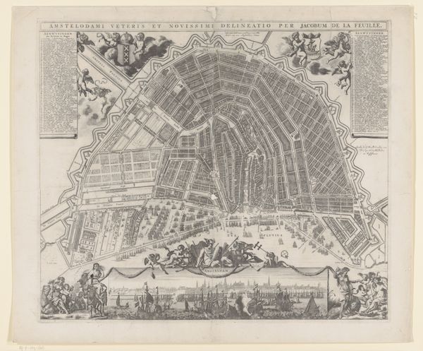
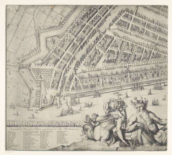
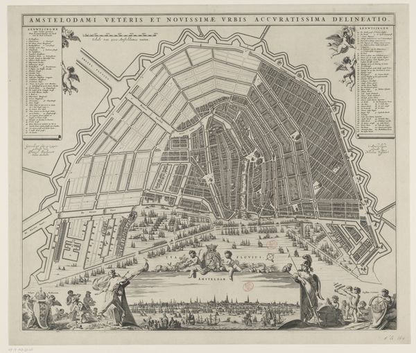
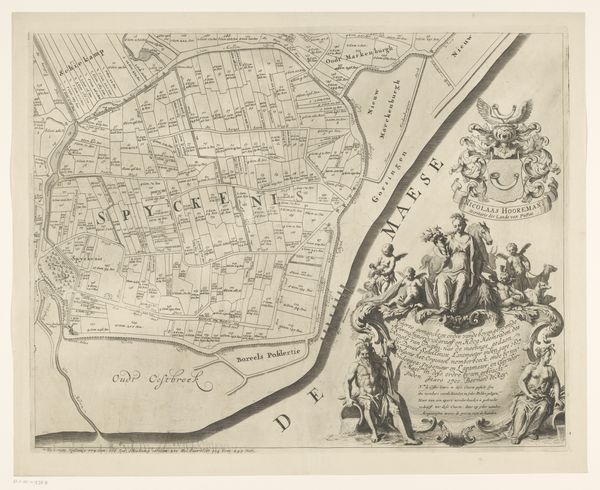
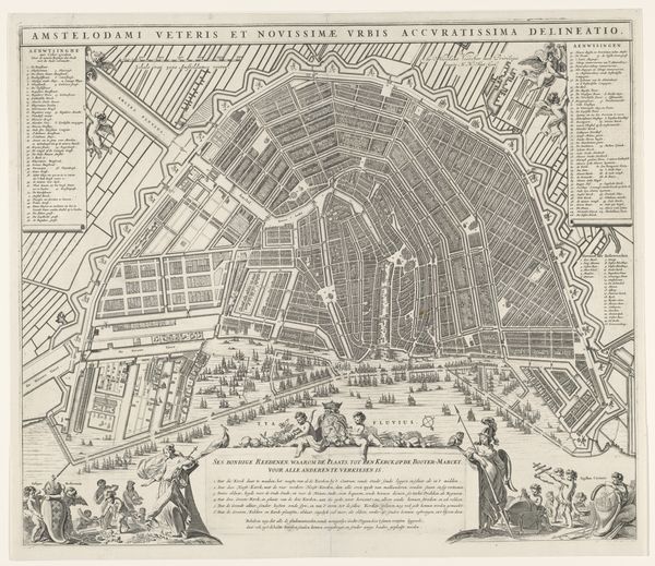
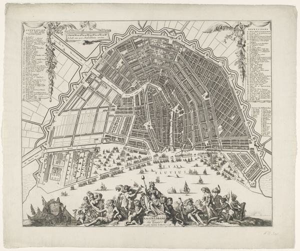
This detailed rendering of Rotterdam, made with ink, offers a bird's-eye view of the city's layout. It illustrates the urban landscape and hints at the political and social structures of the time. Made in the Netherlands, the map gives us insight into the geographical importance of Rotterdam as a port city. The detailed depiction of buildings, waterways, and fortifications speaks to the city's economic and strategic value. The embellishments in the image, such as the figures in the lower register, elevate the status of Rotterdam as an ideal republic. Historical maps are not neutral documents; rather, they are infused with cultural and political meaning. By studying maps like these, historians can reconstruct the past. Comparing maps with other sources, such as trade statistics or political pamphlets, may reveal how Rotterdam saw itself and how it wished to be seen by others.
Comments
No comments
Be the first to comment and join the conversation on the ultimate creative platform.
More like this