print, engraving
landscape
geometric
line
cityscape
engraving
Dimensions: height 211 mm, width 279 mm
Copyright: Rijks Museum: Open Domain
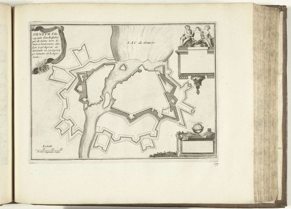
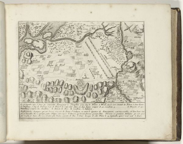
This is an anonymous printed map of Geneva made in 1693. It shows the city as a fortified enclave on the edge of Lake Geneva, with imposing walls and bastions defining its boundaries. In the late 17th century, Geneva was a Protestant republic, a small but strategically important city-state surrounded by larger, often hostile, Catholic powers. The map emphasizes Geneva’s defenses as a symbol of its independence and a bulwark against external threats. The fortifications are rendered in great detail, a clear message of the city’s preparedness. The surrounding landscape is minimal, focusing attention on Geneva's military architecture. The map is more than a geographical representation; it's a statement about Geneva’s political identity and its determination to maintain its unique status. To fully understand this map, one could research the military history of Geneva, its political relationship with surrounding states, and the role of cartography in early modern statecraft. These sources can reveal the complex social and institutional forces that shaped the image of Geneva and its place in the world.
Comments
No comments
Be the first to comment and join the conversation on the ultimate creative platform.