drawing, print, ink, pen, engraving
#
drawing
#
baroque
#
dutch-golden-age
# print
#
pen illustration
#
landscape
#
ink
#
geometric
#
pen
#
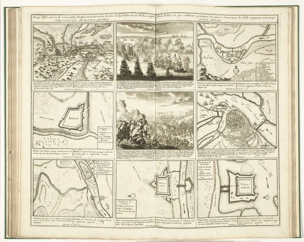
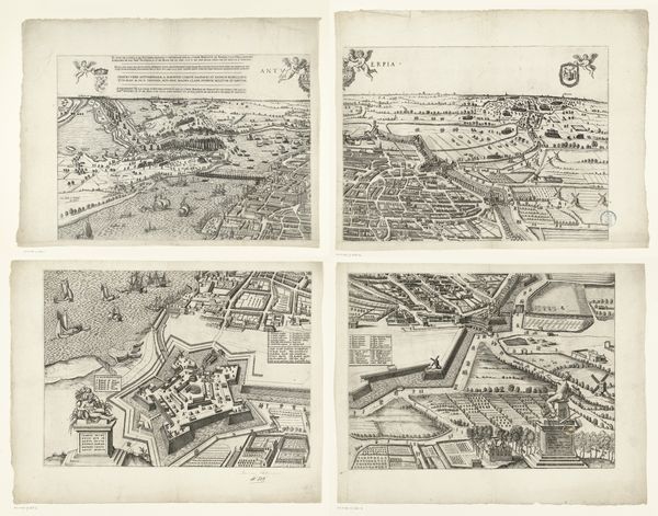
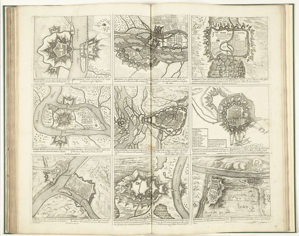
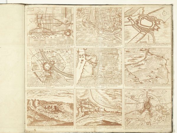
cityscape
#
engraving
Dimensions: height 311 mm, width 663 mm, height 458 mm, width 655 mm, height 460 mm, width 655 mm, height 458 mm, width 655 mm, height 460 mm, width 655 mm
Copyright: Rijks Museum: Open Domain
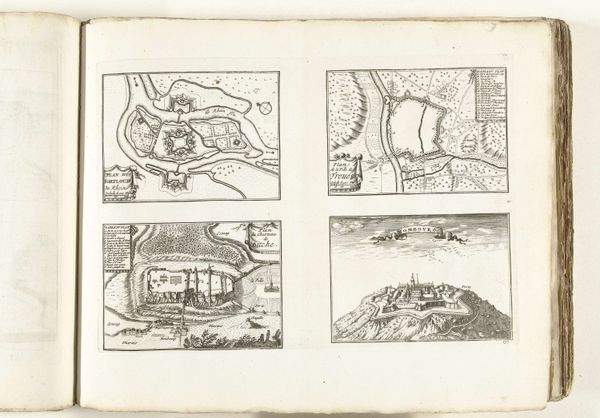
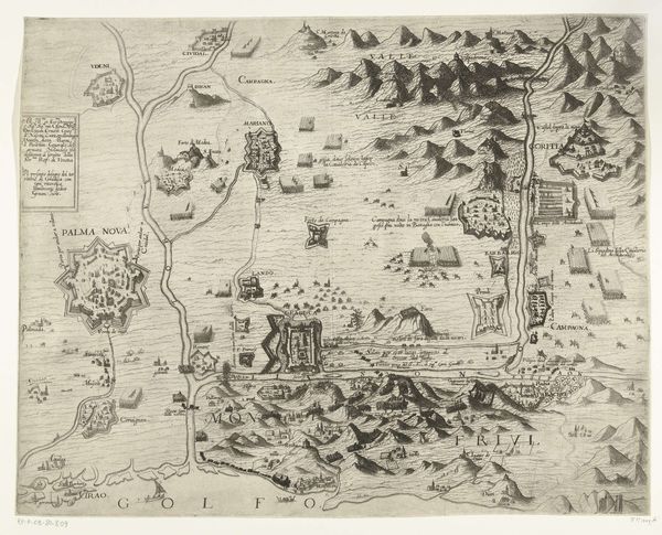
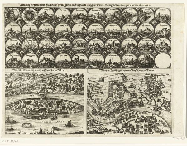
Philibert Bouttats created this detailed map of Maarsseveen, likely around the late 17th century, using engraving. This was a period when the Dutch Golden Age was slowly transitioning, marked by both prosperity and increasing social stratification. The map visualizes land ownership and control, reflecting the economic power dynamics of the time. Consider how the detailed depiction of the landed estate contrasts with the implied labor of those who worked the fields. How did they experience this landscape differently? The embellishments, such as the allegorical figures and decorative borders, are not merely aesthetic; they serve to legitimize the authority and status of the estate's owners. This map isn't just a geographical document; it's a statement about power, wealth, and social hierarchy. It invites us to reflect on whose stories are told and whose are left out of the official record. Think about what this map reveals and conceals about the lives of all who inhabited this space.
Comments
No comments
Be the first to comment and join the conversation on the ultimate creative platform.
More like this