print, engraving
#
baroque
# print
#
engraving
Dimensions: height 195 mm, width 275 mm, height 532 mm, width 320 mm
Copyright: Rijks Museum: Open Domain
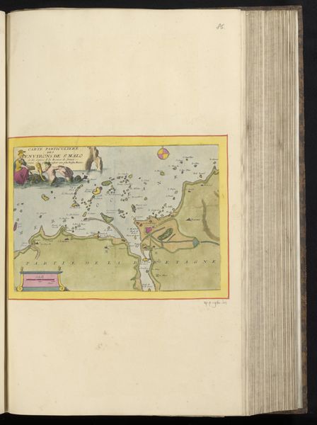
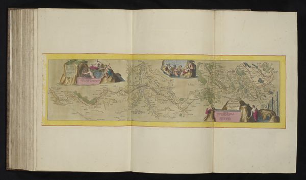
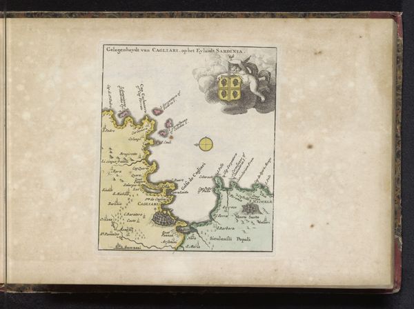
This is an anonymous map of Brest and the surrounding coastal area. The artistic choices in the image connect to the wider social and cultural context of cartography and national identity. The map creates meaning through visual codes that indicate political and military power. Note the depiction of local people, perhaps Bretons, in the upper left corner, near a jagged rock formation. The artist is making cultural references to Brest as a location in the French nation. The map reflects the institutional histories of both cartography and military intelligence. It is a reminder of the power of the state to record and administer territory, as well as to defend it. The image’s very existence allows us to reflect on the meaning of art as something contingent on social and institutional contexts. We might consult archives of military history and of French cultural history to better understand the image.
Comments
No comments
Be the first to comment and join the conversation on the ultimate creative platform.
More like this