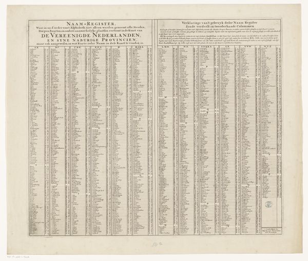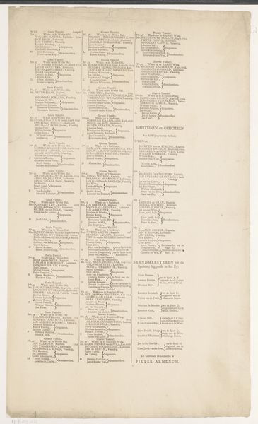
1682 - 1702
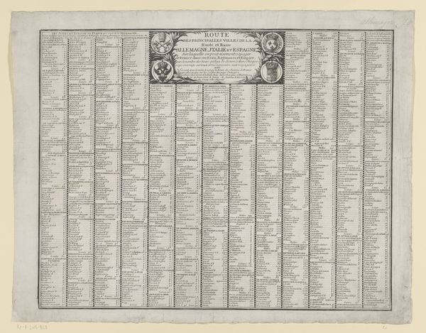
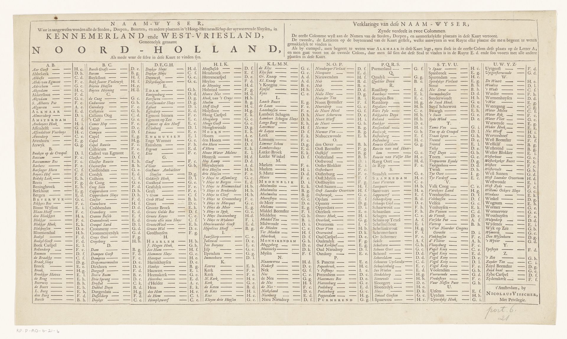
Plaatsnaamwijzer voor bij een kaart van Kennemerland en West-Friesland
Nicolaes (II) Visscher
1649 - 1702Location
RijksmuseumListen to curator's interpretation
Curatorial notes
This "Index of place names for a map of Kennemerland and West Friesland" was made by Nicolaes Visscher II around 1700, offering an intriguing look into Dutch cartography. Look closely, and you will see a matrix of meticulously listed place names, each acting as a symbolic anchor to the geographical knowledge of the time. This isn't just a list; it's a microcosm of a world being defined, ordered, and understood through the power of naming. This recalls ancient traditions where naming was an act of claiming dominion. The act of cataloging evokes similar lists from antiquity. Think of Ptolemy's "Geography," where each name carries echoes of history and culture, influencing how we perceive these places. Just as those ancient lists served as foundations for understanding their world, Visscher’s index reveals the psychological need to map and master our surroundings. The impact of Visscher's piece transcends its immediate function, engaging us on a subconscious level. It's a reminder of how we, throughout history, seek to make sense of the world.