print, engraving, architecture
#
medieval
# print
#
old engraving style
#
11_renaissance
#
geometric
#
line
#
cityscape
#
history-painting
#
engraving
#
architecture
Dimensions: height 229 mm, width 291 mm
Copyright: Rijks Museum: Open Domain
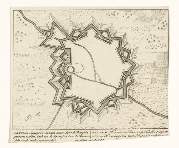
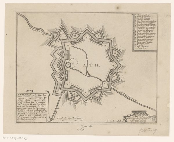
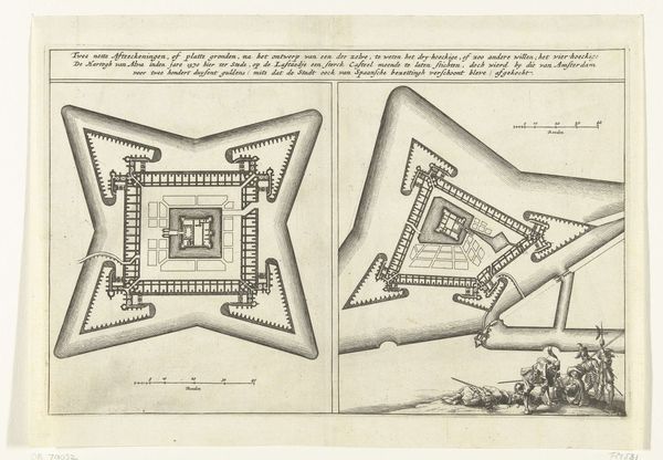
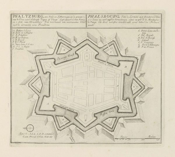
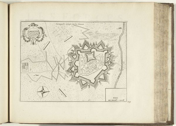
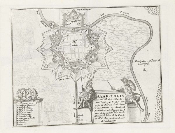
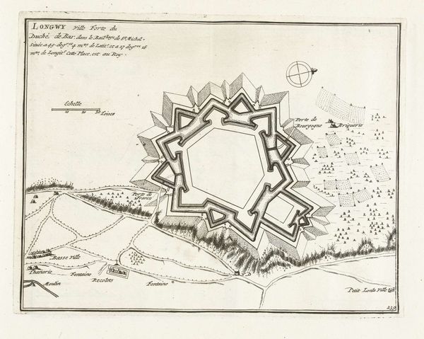
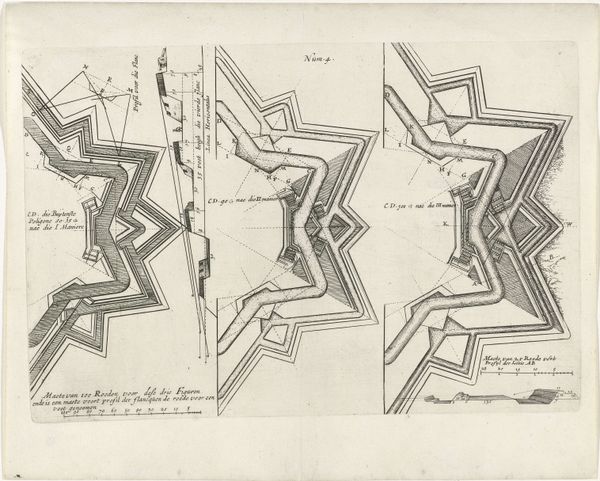
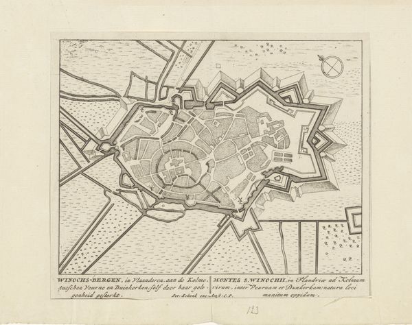
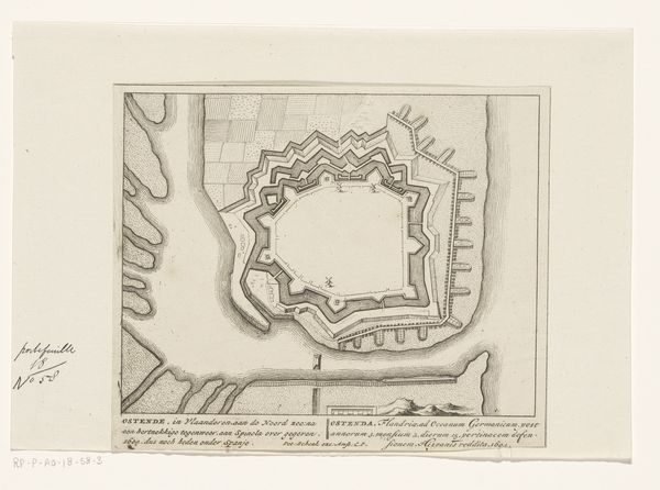
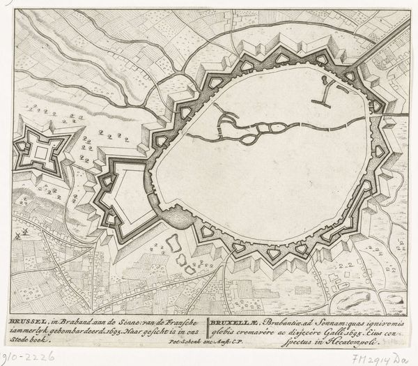
This is an anonymous etching, dating from around 1693 to 1696, showing the ground plan of Thionville. This fortified city, then part of the Duchy of Luxembourg in the Low Countries, was a pawn in the power struggles of the era. The print captures a moment when control of Thionville was shifting between France and Spain. These territorial disputes, often framed as dynastic or religious conflicts, profoundly impacted the lives of ordinary people. The highly detailed map, a technical drawing, speaks to the relentless drive to control land and resources, revealing the human costs of political ambition. The fortifications, so meticulously rendered, remind us of the ever-present threat of violence and the constant need for defense in a volatile world. Consider how such maps not only represent space, but also assert power, dictating boundaries and shaping identities. What does it mean to live in a place defined by conflict? How does such a history shape the identity and resilience of its inhabitants?
Comments
No comments
Be the first to comment and join the conversation on the ultimate creative platform.
More like this