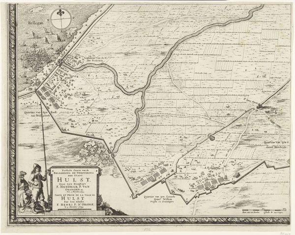
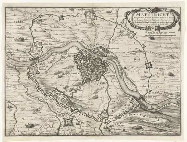
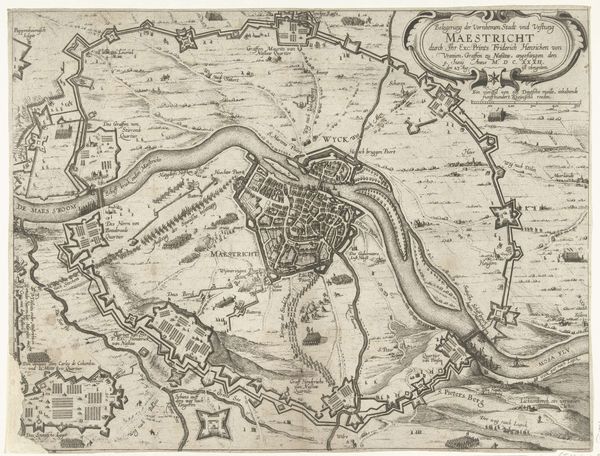
Kaart van het beleg van Sas-van-Gent door Frederik Hendrik, 1629 1732 - 1733
0:00
0:00
bernardpicart
Rijksmuseum
drawing, print, ink, engraving
#
drawing
#
pen drawing
# print
#
ink
#
cityscape
#
history-painting
#
engraving
Dimensions: height 108 mm, width 136 mm
Copyright: Rijks Museum: Open Domain
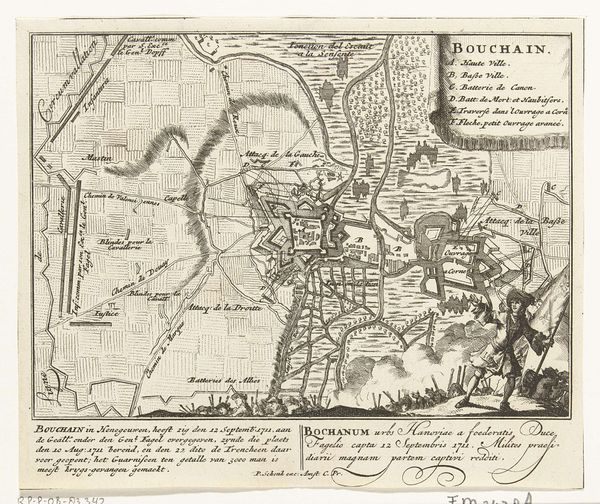
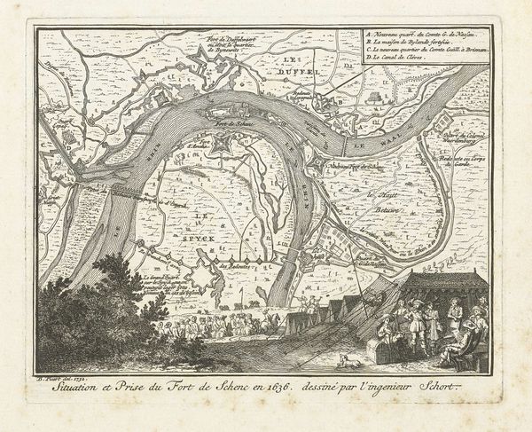
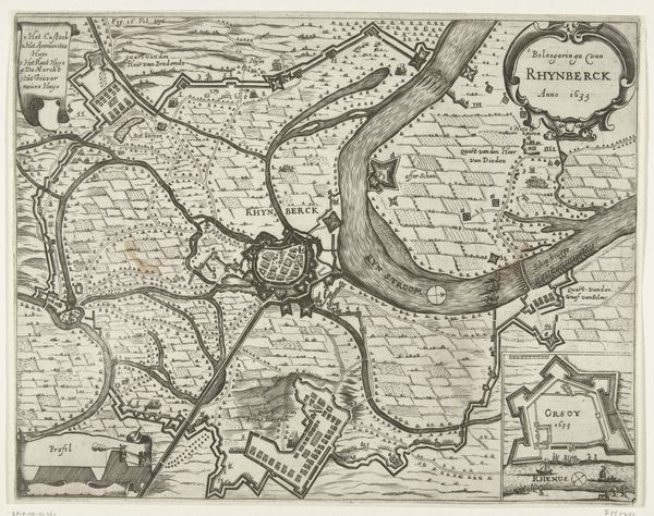
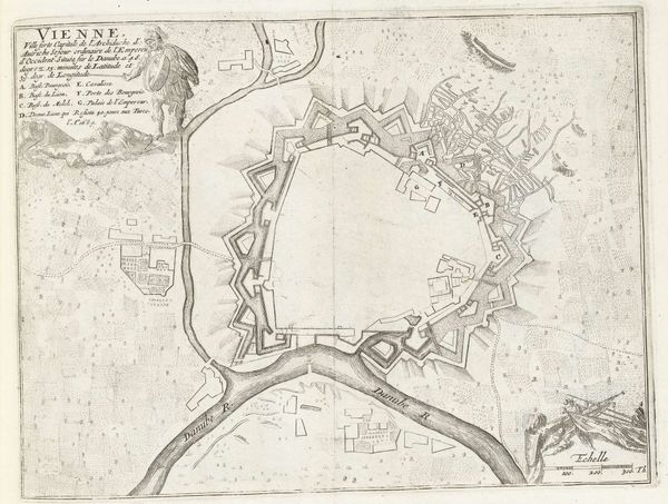
Bernard Picart created this etching, titled "Map of the Siege of Sas-van-Gent by Frederick Henry, 1629", many years after the event. This kind of print had an important public role in the Dutch Republic. The image depicts the siege of a town in the Netherlands, a region then in conflict with Spain. The map presents the geography of the place and shows an army in the lower right hand corner. The print uses visual codes to represent authority and military might. It also provides a bird’s eye view of the siege, an idealized vision of the battlefield. In the 17th century, the Dutch Republic was establishing itself as a major power, and there was a strong market for prints that showcased the nation’s military achievements. Institutions like the Rijksmuseum now collect these prints, thus helping to preserve them. Art historians consult archives, libraries, and other historical sources in order to understand this work in its full social context. The meaning of this image is contingent on its historical context.
Comments
No comments
Be the first to comment and join the conversation on the ultimate creative platform.
More like this