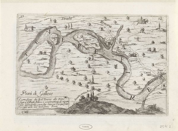
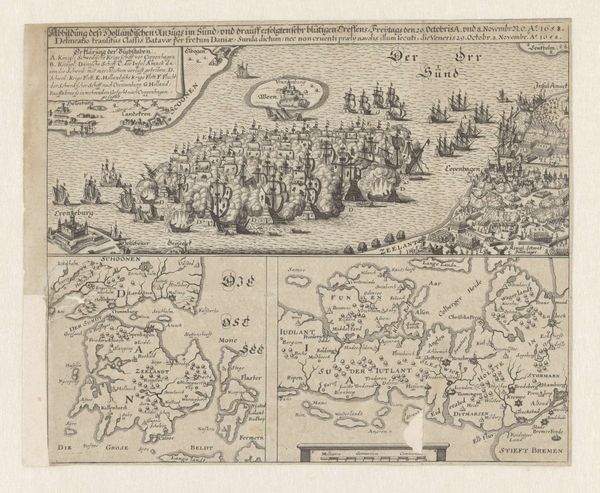
print, engraving
# print
#
old engraving style
#
landscape
#
geometric
#
cityscape
#
history-painting
#
engraving
Dimensions: height 110 mm, width 135 mm
Copyright: Rijks Museum: Open Domain
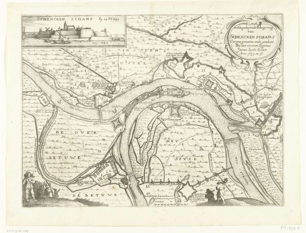
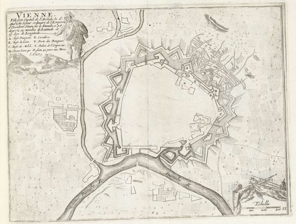
Editor: This engraving, "Kaart van het beleg van Schenckenschans, 1636" by Bernard Picart, made between 1732 and 1733, feels like a mix of a landscape and a strategic map. The detail is incredible! It seems to capture not just the land but a specific historical moment. What stands out to you about this piece? Curator: It's fascinating how this work encapsulates the evolving role of cartography within military and political spheres. While ostensibly a landscape, it really functions as a form of power, doesn’t it? Editor: Power? How so? Curator: Maps, like this one depicting the siege, were instrumental in planning military campaigns and controlling territory. Think of the political implications of accurately portraying Schenckenschans to strategists. How do you think this level of detail might have impacted public perception of war? Was it glorifying conflict, or serving a more practical purpose? Editor: That's a perspective I hadn't considered. I was focusing on the aesthetic details but seeing it as a form of propaganda, almost, is new. The choice to include people makes it less abstract than your average map. Curator: Exactly! These details create a narrative. The public display of such maps reinforced a sense of national identity and perhaps, invincibility. Are there specific symbols or artistic choices that strike you as reinforcing these themes? Editor: Now that you point it out, the placement of the figures almost in a planning or strategizing posture certainly points to an intent beyond mere landscape portrayal. Seeing how art reflects socio-political motivations offers such a valuable lesson. Curator: Indeed, and the historical context surrounding this work deepens its relevance today. I now also perceive that history intertwines with art more intricately than I previously thought!
Comments
No comments
Be the first to comment and join the conversation on the ultimate creative platform.
More like this