drawing, print, ink, engraving
#
drawing
#
pen drawing
# print
#
pen illustration
#
pen sketch
#
old engraving style
#
landscape
#
ink
#
geometric
#
pen-ink sketch
#
pen work
#
engraving
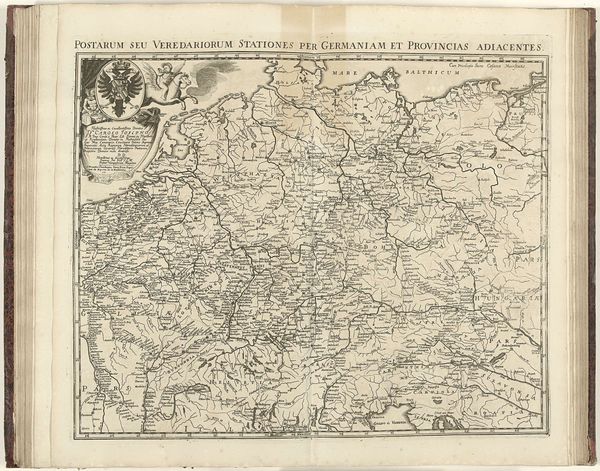
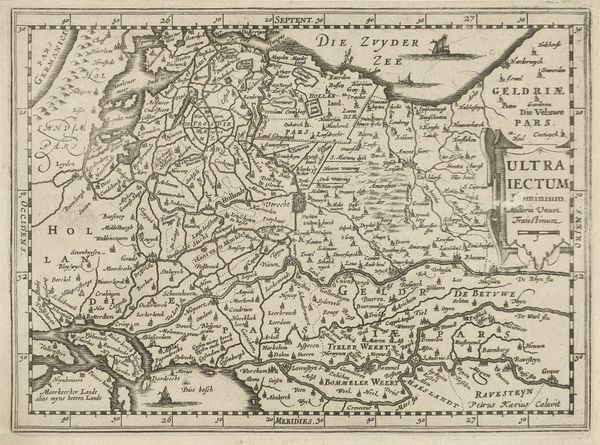
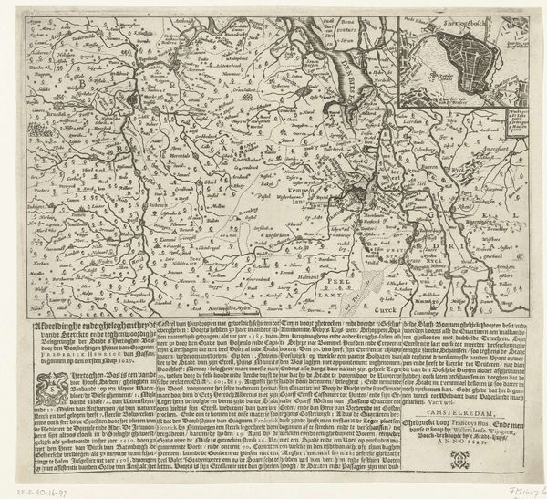
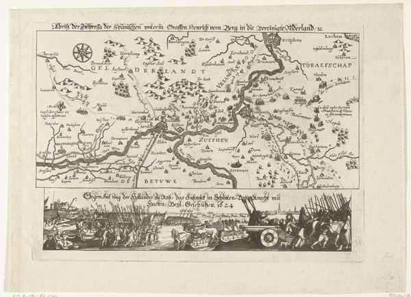
Dimensions: height 425 mm, width 560 mm
Copyright: Rijks Museum: Open Domain
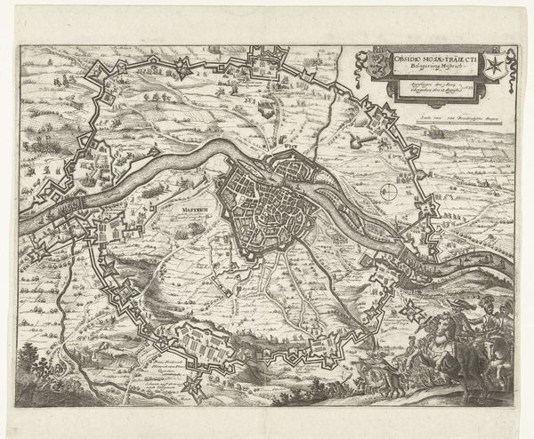
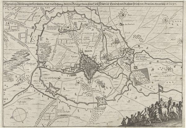
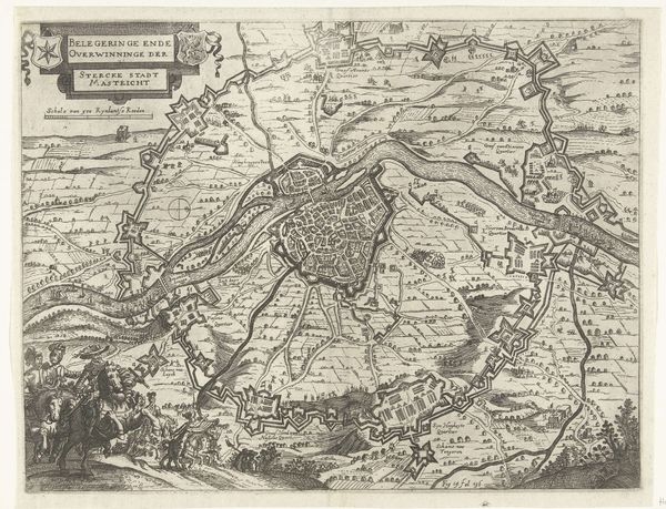
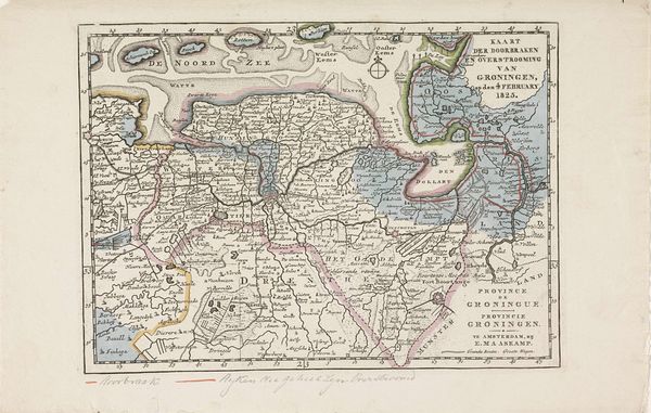
Jacobus Harrewijn created this map of Northern Flanders in 1708. The process involved etching lines into a copper plate, inking it, and then pressing paper against the plate to transfer the image. Notice the precision of the lines, built from skilled labor to delineate cities, waterways, and land divisions. The map's material existence as a print makes it inherently reproducible, and thus, accessible to a wider audience than a unique drawing. This accessibility is deeply connected to the burgeoning mercantile activities of the region at the time. Harrewijn's map isn't just a depiction of space, it's a tool for commerce, a way to visualize and control the flow of goods and people. Consider the labor involved in creating this map, and the economic activities it enabled. It reminds us that even seemingly straightforward images are deeply embedded in the social and economic realities of their time.
Comments
No comments
Be the first to comment and join the conversation on the ultimate creative platform.
More like this