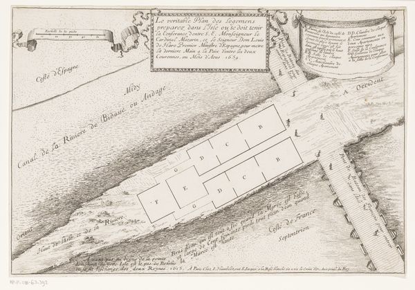
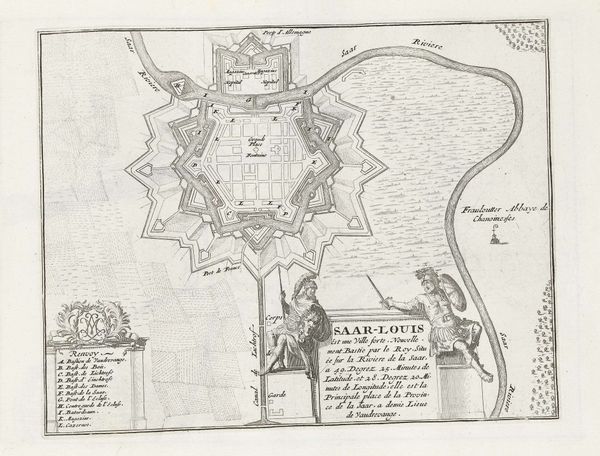
print, engraving
# print
#
old engraving style
#
landscape
#
geometric
#
cityscape
#
history-painting
#
engraving
Dimensions: height 253 mm, width 300 mm
Copyright: Rijks Museum: Open Domain
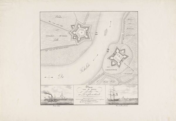
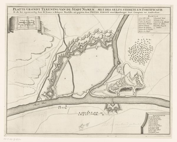
This is an anonymous 1832 drawing of Fort Liefkenshoek made with pen and ink. It shows the layout of the Fort and its surrounding areas. Made in the Netherlands, this image is a product of its time. The Dutch Golden Age, a period of immense economic and cultural flourishing, had long passed, but the Dutch Republic's legacy of maritime power and territorial control remained important. Fort Liefkenshoek was a key defensive structure, and maps like this were crucial for military planning and asserting sovereignty over the region. The detailed depiction of the fort, surrounding waterways, and potential flood zones reflect the Dutch Republic's long history of hydro-engineering and war. To further understand this drawing, one might consult military archives, historical maps, and engineering reports to contextualize both its strategic function and its representation of Dutch power.
Comments
No comments
Be the first to comment and join the conversation on the ultimate creative platform.
More like this