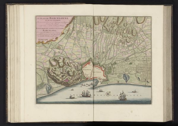
print, engraving
#
baroque
# print
#
perspective
#
coloured pencil
#
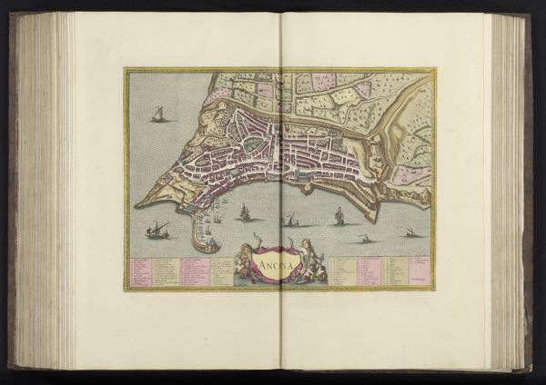
cityscape
#
engraving
Dimensions: height 410 mm, width 510 mm
Copyright: Rijks Museum: Open Domain
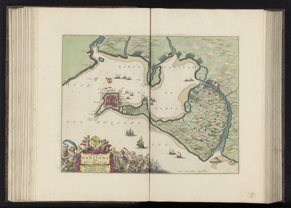
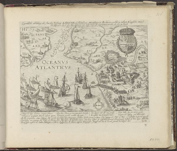
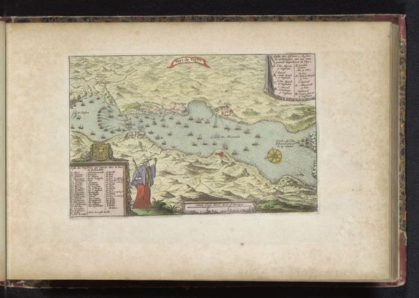
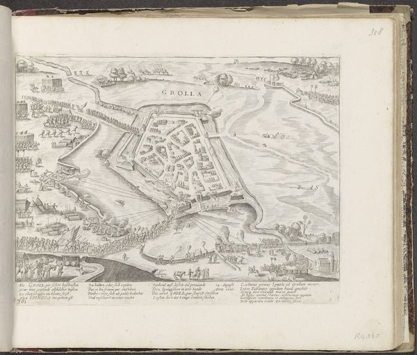
Editor: This is "Gezicht op Valetta in vogelvluchtperspectief," or "View of Valetta in bird's-eye perspective." It’s an anonymous print dating sometime between 1639 and 1717. Looking at it, I’m struck by how this detailed city plan exists alongside these almost theatrical scenes of ships and laborers. How do you interpret the function of this kind of visual representation at this moment in history? Curator: The convergence of cartography, art, and perhaps propaganda in this print is significant. We can consider how such images were employed in shaping perceptions of power, particularly colonial power. The "bird's-eye view," which offered a comprehensive survey, reinforced a sense of ownership and control over the represented space. Do you notice how the fort is rendered, prominently guarding the city? Editor: Yes, the fort dominates the lower part of the plan, and I also see how the perspective seems to flatten the social complexities of the city. There's no hint of any internal struggles, right? Curator: Precisely! By examining who created these images, for whom, and under what conditions, we can begin to understand whose stories are prioritized and, conversely, whose are erased. These cityscapes often served the interests of the colonizers, glossing over social tensions and presenting an idealized image of colonial stability. It almost seems as if there's a deliberate strategy of othering involved. What do you think? Editor: It makes me wonder how the inhabitants of Valetta at the time would have reacted to such a detached, almost clinical representation of their home. Thinking about its accessibility to different social classes and about its reception reveals the extent to which knowledge and visual culture served colonial purposes. Curator: Exactly! And acknowledging these power dynamics allows us to appreciate how even seemingly neutral depictions of places can become implicated in larger systems of domination and erasure. We now start questioning, right?
Comments
No comments
Be the first to comment and join the conversation on the ultimate creative platform.
More like this