drawing, print, paper, ink, engraving
#
drawing
#
dutch-golden-age
# print
#
pen sketch
#
landscape
#
paper
#
ink
#
geometric
#
engraving
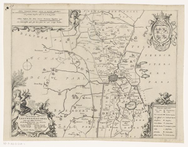
Dimensions: height 404 mm, width 490 mm
Copyright: Rijks Museum: Open Domain
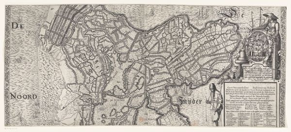
This is Jacob van Meurs’s map of Oostergo, an area in Friesland, made around the mid-17th century. Notice the prominent coat of arms emblazoned at the top left, a symbol of regional identity and power. Coats of arms, like this one, are not merely decorative. They are a visual language, an emblem of lineage and heritage, harking back to medieval heraldry. These symbols appear across Europe, adorning castles, manuscripts, and public spaces. They served as identifiers in a largely illiterate society, communicating allegiance and status. Think of the familial crests in ancient Greece, or even the insignias of Roman legions – the urge to visually represent identity is a recurring theme in human history. These emblems are not static; they evolve, reflecting changing social structures and values. Their power lies in their ability to evoke a sense of belonging and continuity. They become potent symbols laden with historical and cultural significance, engaging us on a subconscious level and stirring our primal need for recognition. This need for recognition transcends time, echoing through history in a cyclical manner.
Comments
No comments
Be the first to comment and join the conversation on the ultimate creative platform.
More like this