print, engraving
#
baroque
# print
#
perspective
#
geometric
#
line
#
cityscape
#
engraving
Dimensions: height 418 mm, width 504 mm
Copyright: Rijks Museum: Open Domain
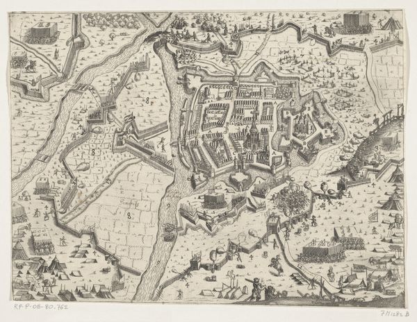
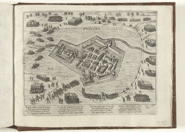
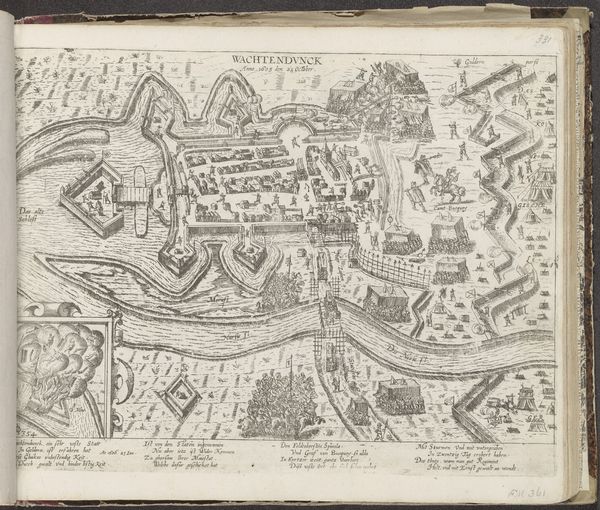
Reynier Blokhuysen's "Plattegrond van Aalst" is an engraving, printed on paper. The method of production is critical here: engraving is an intaglio process, meaning that the image is incised into a plate, typically copper, using a tool called a burin. The artist would have painstakingly cut away slivers of metal, a labor-intensive process demanding precision. Ink is then forced into these grooves, the surface wiped clean, and the image transferred to paper under high pressure. Consider how this technique affects the image itself. The fine lines and sharp details capture Aalst’s urban layout with remarkable clarity. But more than that, the very act of engraving, with its demand for methodical work, mirrors the order and structure of the city itself. Each line represents countless hours of skilled labor, reflecting the economic activities and social order of the time. The print becomes more than just a map; it is a testament to the cultural values of precision, order, and the skilled labor that underpinned the early modern world.
Comments
No comments
Be the first to comment and join the conversation on the ultimate creative platform.
More like this