About this artwork
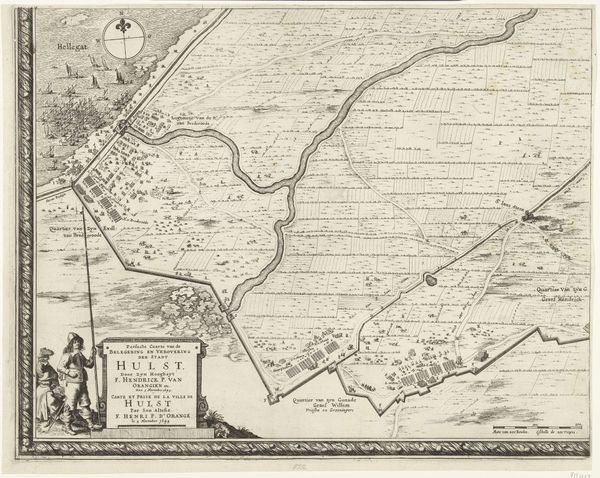
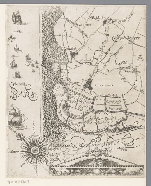
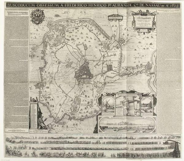
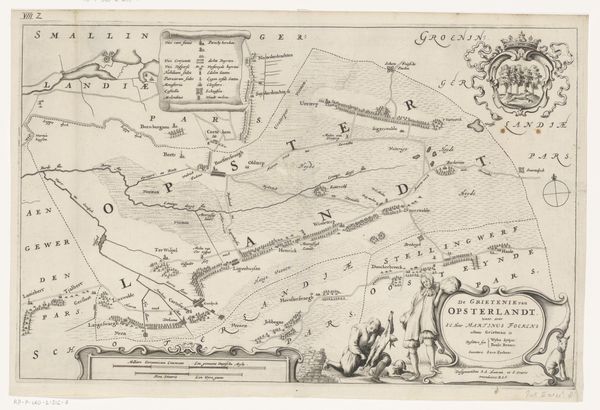
This is a fragment of a map of Ghent, etched by Georges Goethals in 1796. It offers us a glimpse into the geopolitical landscape of the late 18th century, a period marked by significant social and political upheaval. Maps like these were not merely neutral representations of space. They were tools of power, used to assert control, define territories, and shape perceptions. Think about how the careful delineation of boundaries, the strategic placement of fortifications, and the detailed rendering of urban centers all served to reinforce existing power structures. Consider also what is left out, such as the lives and experiences of ordinary people. By focusing on grand structures and strategic locations, the map tends to erase the everyday realities of those who lived and worked in Ghent. As you look at this map, reflect on the ways in which it both reflects and shapes our understanding of the past. Think about whose stories are being told and whose are being left out.
Artwork details
- Medium
- drawing, print, paper, ink, engraving
- Dimensions
- height 171 mm, width 309 mm
- Copyright
- Rijks Museum: Open Domain
Tags
Comments
Share your thoughts
About this artwork
This is a fragment of a map of Ghent, etched by Georges Goethals in 1796. It offers us a glimpse into the geopolitical landscape of the late 18th century, a period marked by significant social and political upheaval. Maps like these were not merely neutral representations of space. They were tools of power, used to assert control, define territories, and shape perceptions. Think about how the careful delineation of boundaries, the strategic placement of fortifications, and the detailed rendering of urban centers all served to reinforce existing power structures. Consider also what is left out, such as the lives and experiences of ordinary people. By focusing on grand structures and strategic locations, the map tends to erase the everyday realities of those who lived and worked in Ghent. As you look at this map, reflect on the ways in which it both reflects and shapes our understanding of the past. Think about whose stories are being told and whose are being left out.
Comments
Share your thoughts