print, engraving
# print
#
pen illustration
#
pen sketch
#
old engraving style
#
geometric
#
cityscape
#
history-painting
#
engraving
Dimensions: height 388 mm, width 489 mm
Copyright: Rijks Museum: Open Domain
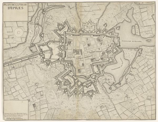
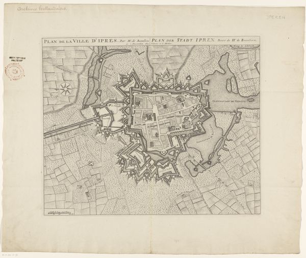
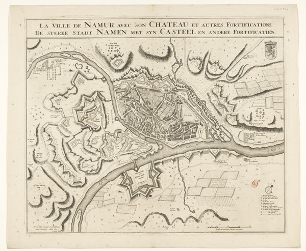
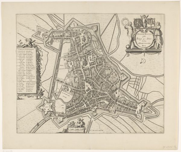
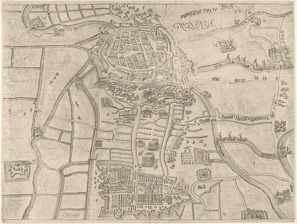
This is Isaac Basire's map of Ypres, a city in Flanders, likely made in the mid-18th century. It shows the city not as a place of habitation, but as a strategic military point. The star-shaped fortifications point to the city's martial importance during a period of shifting imperial power. Maps like this served a crucial function in an age of territorial disputes and wars. It reduces the city to a set of defensive features, highlighting the way land was viewed as property to be owned and controlled. Basire’s image reflects a time when the Treaty of Utrecht reshaped the map of Europe. This treaty had a profound impact on political boundaries and national identities and directly influenced the balance of power. To understand this map fully, we would need to delve into military history, the specifics of 18th-century warfare, and the politics surrounding the Treaty of Utrecht. It's through this kind of interdisciplinary approach that we can truly understand the role of art as a product of its time.
Comments
No comments
Be the first to comment and join the conversation on the ultimate creative platform.
More like this