print, engraving
baroque
pen illustration
old engraving style
landscape
cityscape
engraving
Dimensions: height 394 mm, width 496 mm
Copyright: Rijks Museum: Open Domain
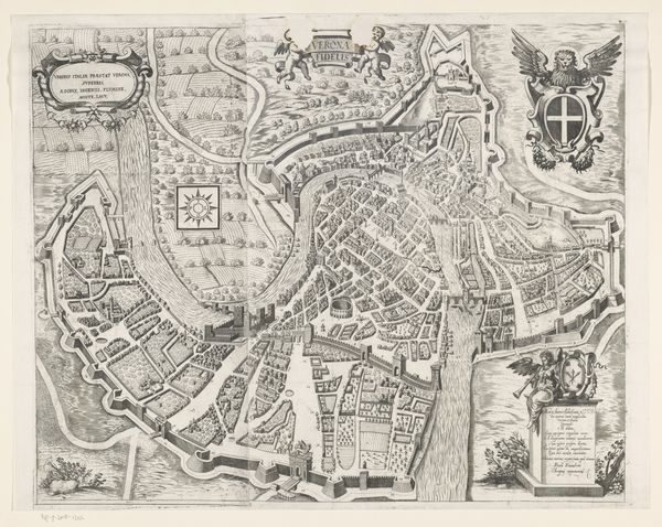
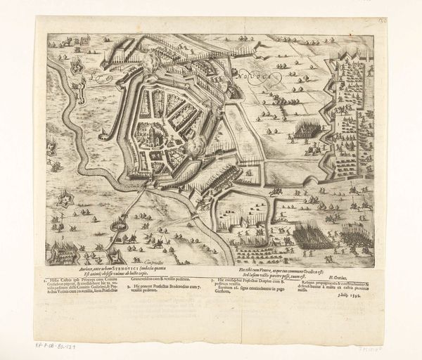
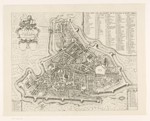
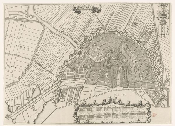
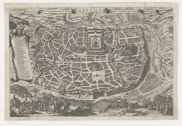
This anonymous engraving offers a bird's-eye view of Sint-Winoksbergen, rendered with remarkable precision. The composition is dominated by the circular layout of the city, a form that immediately evokes a sense of order and containment. The strict geometry, achieved through fine, uniform lines, suggests an underlying conceptual framework: perhaps an idealized urban plan reflecting early modern ideas about governance and control. Semiotically, the map functions as a symbolic representation of power, using spatial organization to communicate authority. The circular form, a closed system, also raises questions about what it excludes and how it defines its boundaries. Notice the cartouches and lists which frame the map: these are not merely decorative but serve to anchor the represented space within a network of signs, codes, and cultural meanings. This engraving invites us to consider how we map, define, and ultimately control our environments.
Comments
No comments
Be the first to comment and join the conversation on the ultimate creative platform.