drawing, print, ink, engraving
#
drawing
# print
#
pen sketch
#
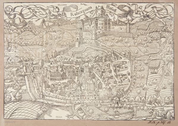
landscape
#
ink
#
ancient-mediterranean
#
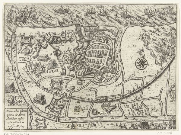
cityscape
#
northern-renaissance
#
engraving
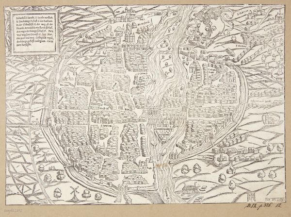
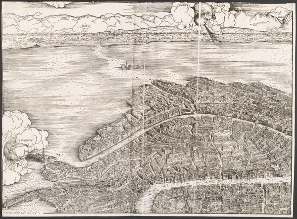
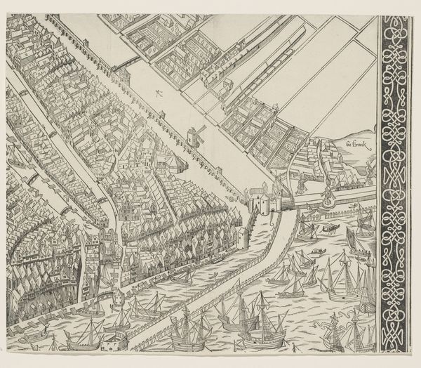
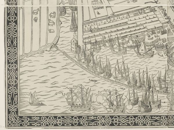
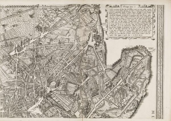
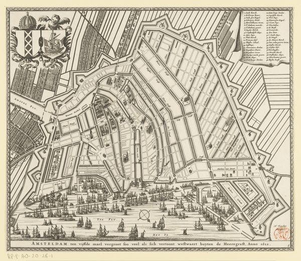
Dimensions: height 267 mm, width 385 mm
Copyright: Rijks Museum: Open Domain
This is the eleventh section of the 1544 map of Amsterdam made by Cornelis Anthonisz. in the heart of the Northern Renaissance. Amsterdam, a burgeoning port city, is depicted here during a pivotal moment of economic expansion and social change. As we examine this detailed plan, consider the labor and lives that animated this space. The waterways, bustling with ships, were vital arteries of trade, connecting Amsterdam to global markets. The presence of these ships reflects not only economic prosperity but also the complex networks of colonialism and commerce that shaped the city’s identity. Look closely at the architecture; the buildings tightly packed together illustrate a society grappling with urbanization and the negotiation of public and private space. The construction and maintenance of these structures would have relied on the skilled labor of artisans and workers, many of whom remain unnamed in the historical record. This map invites us to consider how power, labor, and identity converge in the urban landscape.
Comments
No comments
Be the first to comment and join the conversation on the ultimate creative platform.
More like this