drawing, print, woodcut
#
drawing
#
medieval
# print
#
landscape
#
woodcut
#
cityscape
#
northern-renaissance
Dimensions: 240 mm (height) x 350 mm (width) (bladmaal)
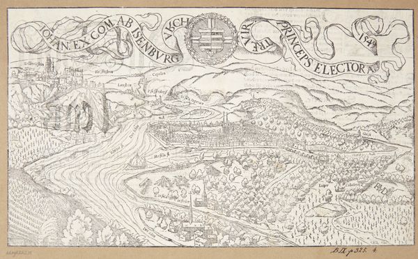
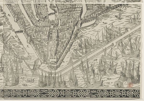
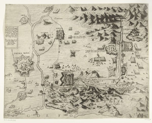
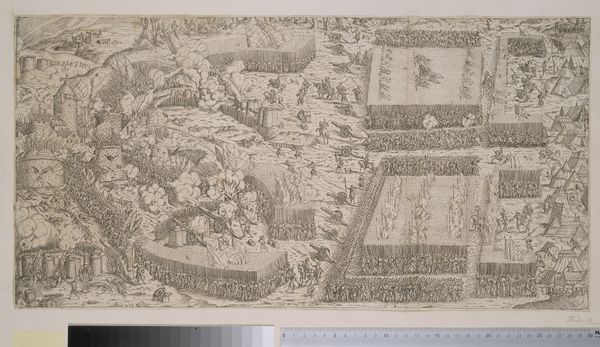
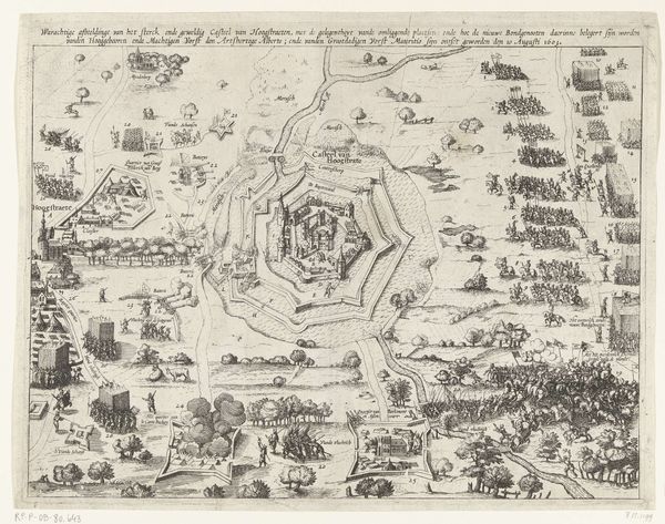
Hans Rudolf Manuel Deutsch created this map of Rufach at an unknown date using engraving. As you look at this meticulously detailed bird’s-eye view, consider the socio-political context of the mid-16th century in which it was created. Maps like these were more than geographical tools; they were assertions of power. In a time of religious conflict and emerging statehood, a detailed depiction of a town could serve military, administrative, and symbolic purposes. The level of detail suggests a need to document and control space, which could reflect the desire to solidify territorial claims. The positioning of the town within a landscape with emphasis on the built environment might evoke a sense of pride, and of place. The map invites us to consider the relationship between representation, power, and identity. It’s a document of a specific time, reflecting how people saw themselves in relation to their environment and to each other.
Comments
No comments
Be the first to comment and join the conversation on the ultimate creative platform.
More like this