print, engraving
#
dutch-golden-age
# print
#
landscape
#
history-painting
#
engraving
Dimensions: height 391 mm, width 488 mm
Copyright: Rijks Museum: Open Domain
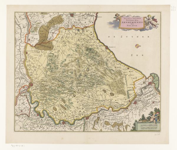
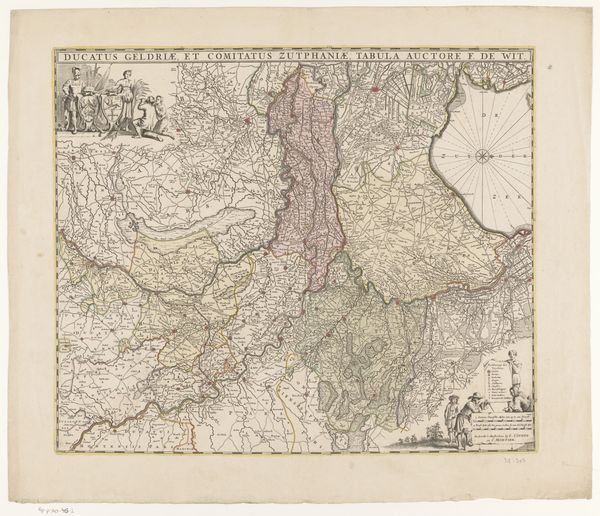
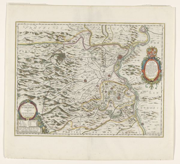
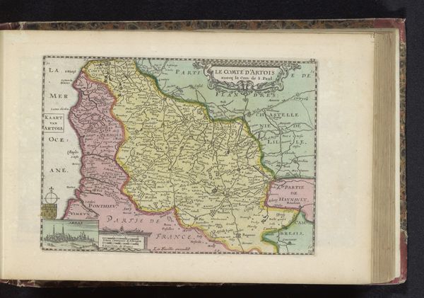
This is an undated map of the Duchy of Limburg by an anonymous artist, now held in the Rijksmuseum. Maps like these served not only as practical tools for navigation but also as powerful visual statements of territorial control and political ambition. In the early modern period, cartography was closely linked to state power, with rulers commissioning maps to define and legitimize their domains. The coat of arms prominently displayed indicates the authority claiming jurisdiction over this region. Produced in the Netherlands, this map reflects the growing importance of Dutch cartography during a time of expanding global trade and colonial competition. The detailed rendering of towns, rivers, and topographical features speaks to the emerging scientific methods used in surveying and mapping. But it’s crucial to remember the socio-political context: this map represents a particular perspective, one that reinforces the power structures of its time. Historical archives, land records, and period documents can provide further insights into how maps like these shaped perceptions of space, influenced political decisions, and contributed to the construction of national identities.
Comments
No comments
Be the first to comment and join the conversation on the ultimate creative platform.
More like this