drawing, print, ink, engraving
#
drawing
#
baroque
# print
#
pen illustration
#
pen sketch
#
old engraving style
#
personal sketchbook
#
linework heavy
#
ink
#
sketchwork
#
pen-ink sketch
#
pen work
#
sketchbook drawing
#
cityscape
#
storyboard and sketchbook work
#
engraving
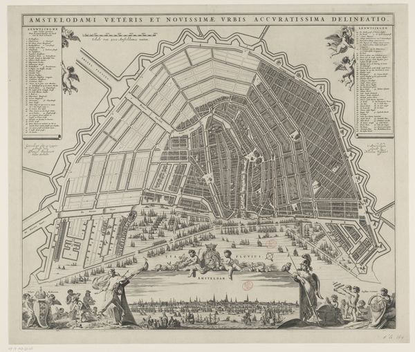
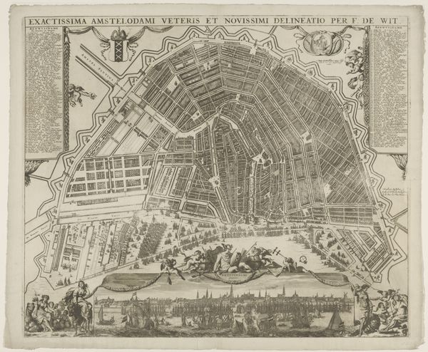
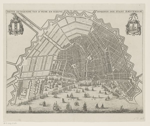
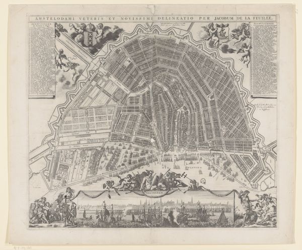
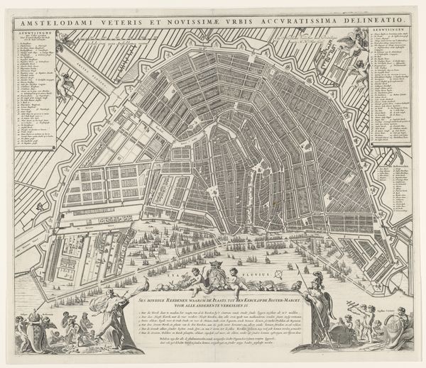
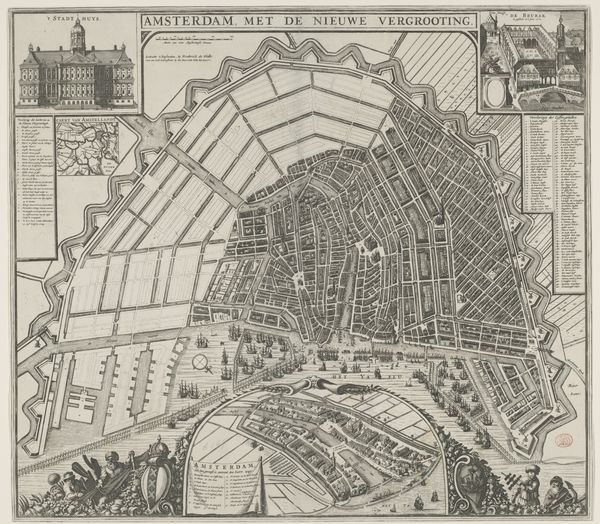
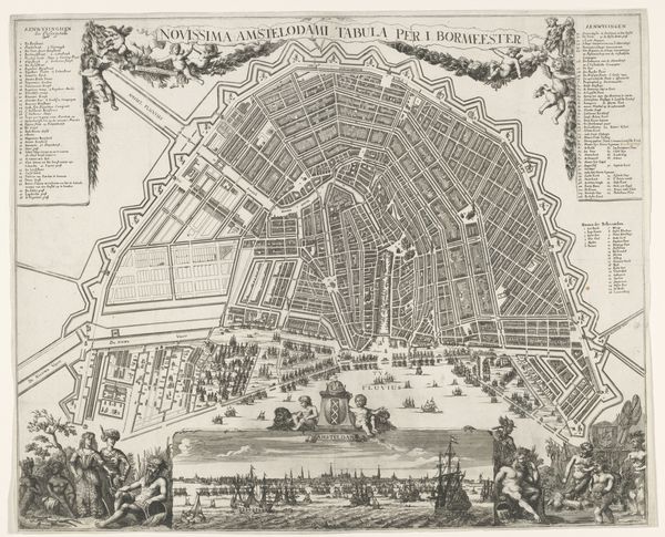
Dimensions: height 542 mm, width 629 mm
Copyright: Rijks Museum: Open Domain
This is A. Besnard’s engraved map of Amsterdam, showing the city as it was and as it was planned to be. The map proposes an expansion known as the Fourth Extension. Maps like this are never neutral. They embody ideas about urban planning, trade, and governance. Amsterdam was a global center of commerce in this period, and its expansion reflects its economic ambitions. The grid-like layout of the proposed extension suggests a rational, ordered society, reflecting the values of the Dutch Republic. We can see how the expansion was designed to accommodate more canals and the increasing maritime trade, facilitated by institutions such as the Amsterdam Stock Exchange and the Dutch East India Company. This design wasn’t just about practicality; it was a statement about Amsterdam's place in the world. To understand this map fully, historians consult city archives, economic records, and period writings. These resources help us understand the social and institutional forces that shaped Amsterdam and its art. Art offers unique insights into the values and priorities of the society that created it.
Comments
No comments
Be the first to comment and join the conversation on the ultimate creative platform.
More like this