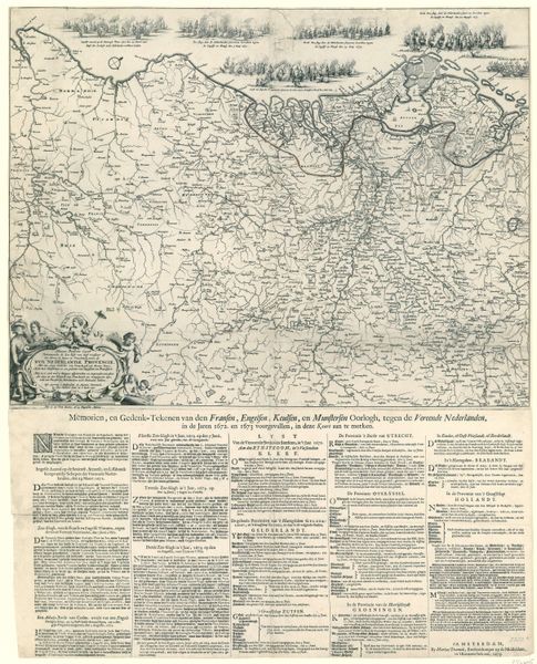
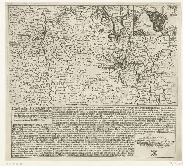
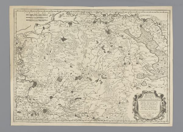
Kaart van de Nederlanden waarop zijn aangegeven de steden die in 1672 veroverd zijn door de Fransen 1675
0:00
0:00
anonymous
Rijksmuseum
print, ink, engraving
#
baroque
#
pen drawing
# print
#
landscape
#
ink
#
history-painting
#
engraving
Dimensions: height 558 mm, width 423 mm
Copyright: Rijks Museum: Open Domain
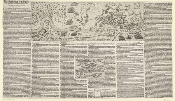
This is an anonymous map of the Netherlands, made in 1672. It is a detailed etching, densely packed with information, giving us a bird’s-eye view of cities and regions. The composition is structured by a tension between the geographical accuracy of the map and its function as a political statement. The upper half shows the Dutch provinces, intricately rendered with delicate lines and shading, emphasizing the natural landscape and urban centers. The lower half, however, is dominated by dense blocks of text, almost overwhelming the cartographic image above. This juxtaposition of image and text creates a semiotic interplay. The map itself functions as a sign, representing the territory and its spatial relationships. The text, filled with proclamations and declarations, acts as another layer of signs, interpreting and framing the geographical data. The map challenges fixed meanings by presenting a landscape imbued with contemporary political concerns, reflecting a moment of conflict and territorial struggle. Ultimately, the map operates on multiple levels: as a geographical tool, a political document, and a visual statement, demonstrating the complex relationship between space, power, and representation.
Comments
No comments
Be the first to comment and join the conversation on the ultimate creative platform.
More like this