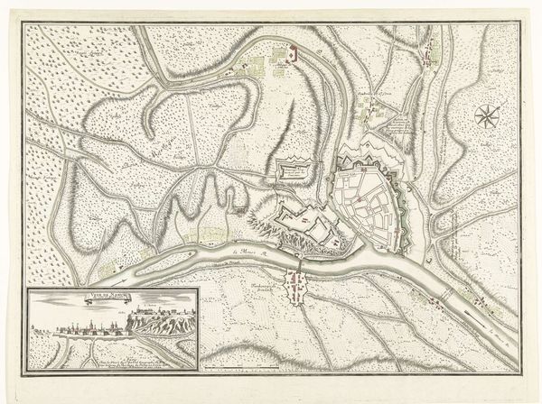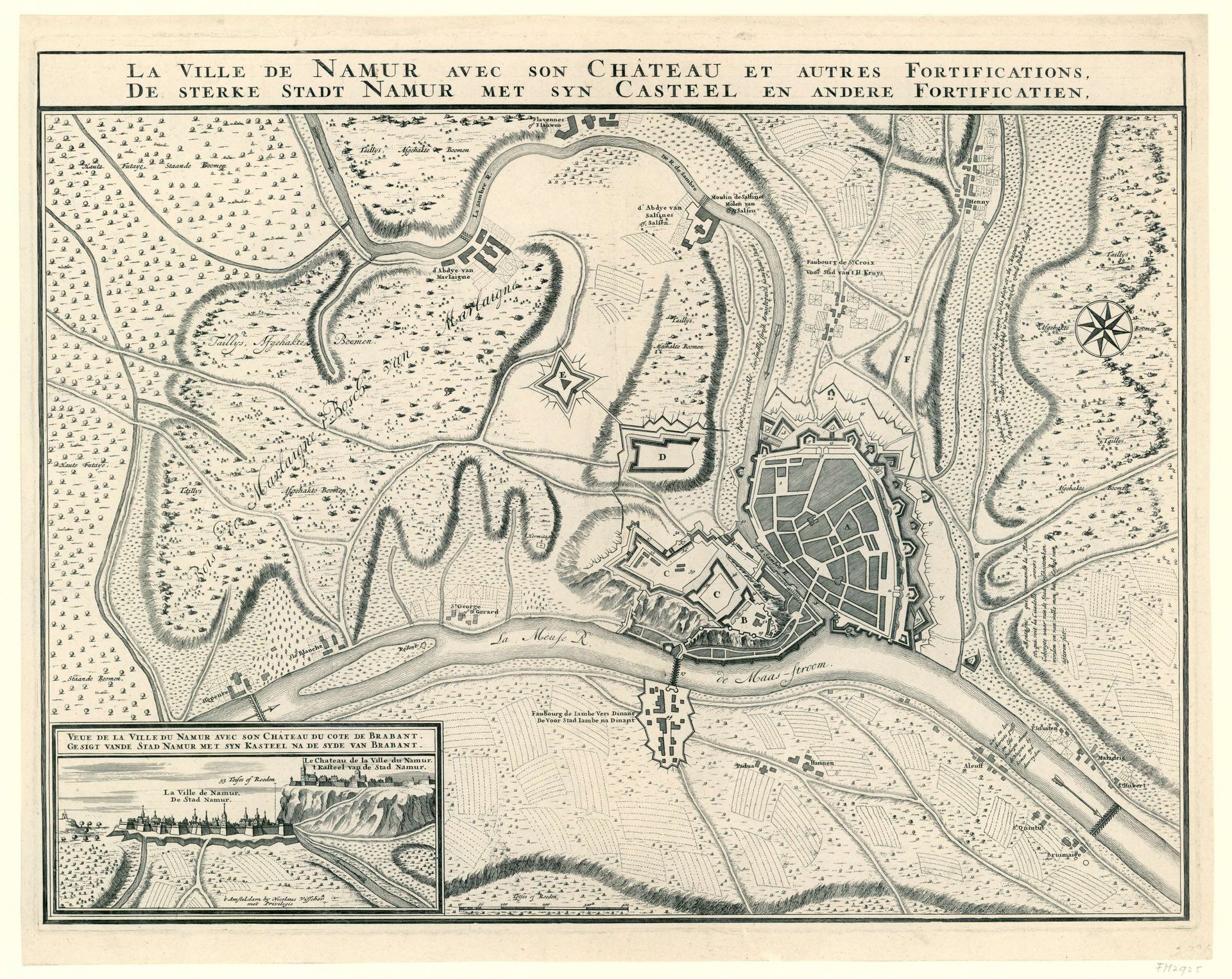
1695
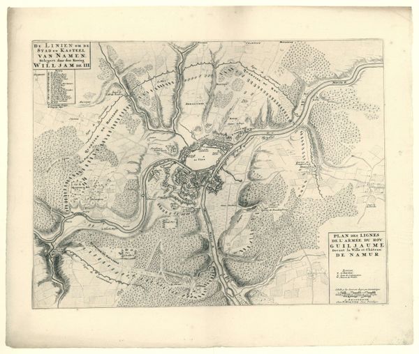
Kaart van de stad Namen met het kasteel, belegerd door de geallieerden, 1695
Anonymous
@anonymousLocation
RijksmuseumListen to curator's interpretation
Curatorial notes
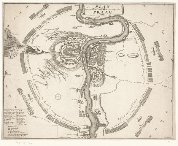
This detailed map, created anonymously around 1695, illustrates the city of Namur under siege, a microcosm reflecting the broader theater of European power struggles. Note the prominent star fortresses, geometric shapes that echo principles of Renaissance military architecture designed to resist cannon fire. These fortifications remind us of the ancient human desire for protection and dominance, recalling the walled cities of antiquity, from Jericho to Babylon. The star motif, while practical in design, resonates with earlier symbolic uses found in cosmological diagrams, hinting at an aspiration to impose order on chaos, mirroring the stars above. The map, more than a mere record, is a statement of power. It speaks to a collective anxiety about territorial control, a concern that persists through time, manifesting in ever-evolving forms of defense and aggression. It touches upon the human psyche’s deep-seated need for security, a primal drive that continues to shape our world. Like an ouroboros, the cycle of defense and attack repeats, each era reinterpreting the dance of power.