print, engraving
baroque
pen illustration
old engraving style
geometric
line
cityscape
engraving
Dimensions: height 210 mm, width 282 mm
Copyright: Rijks Museum: Open Domain
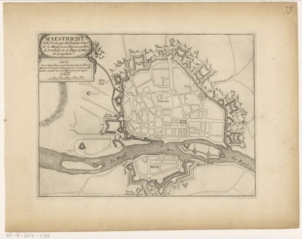
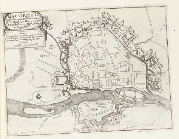
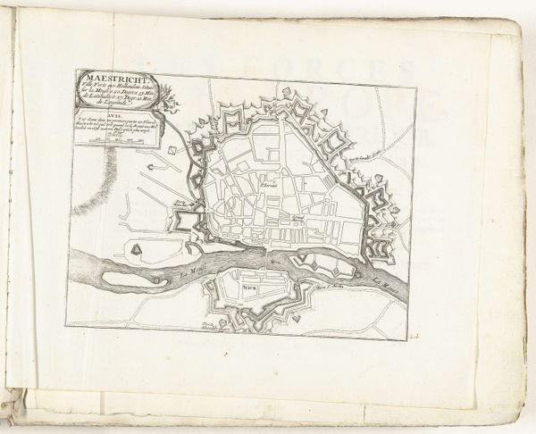
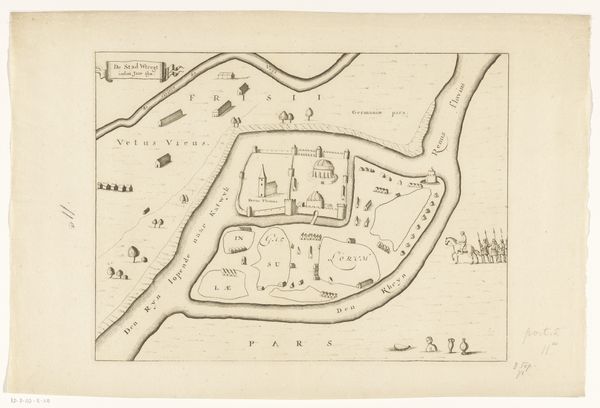
This map of Maastricht, undated and by an anonymous hand, uses ink on paper to meticulously depict the city's layout and fortifications. The composition is dominated by geometric forms, with the angular lines of the city walls and the ordered grid of streets creating a structured visual experience. The stark contrast between the built environment and the fluid lines of the river Meuse introduces a dynamic tension. This tension speaks to the broader 17th century philosophical concerns around the relationship between nature and artifice, order and chaos. The precise rendering of the fortifications also suggests a semiotic system in which each shape and line conveys specific military information. Ultimately, the map challenges fixed notions of space, inviting viewers to consider how the act of representation shapes our understanding of the world. As such, this detailed map offers an opportunity to explore the complex interplay between form, function, and meaning in early cartography.
Comments
No comments
Be the first to comment and join the conversation on the ultimate creative platform.