drawing, watercolor
drawing
water colours
baroque
watercolor
coloured pencil
cityscape
Dimensions: height 176 mm, width 145 mm
Copyright: Rijks Museum: Open Domain
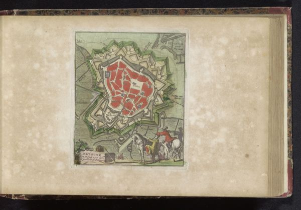
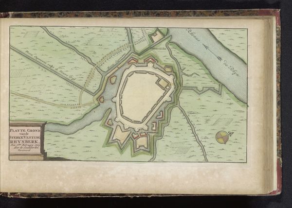
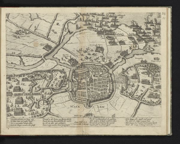
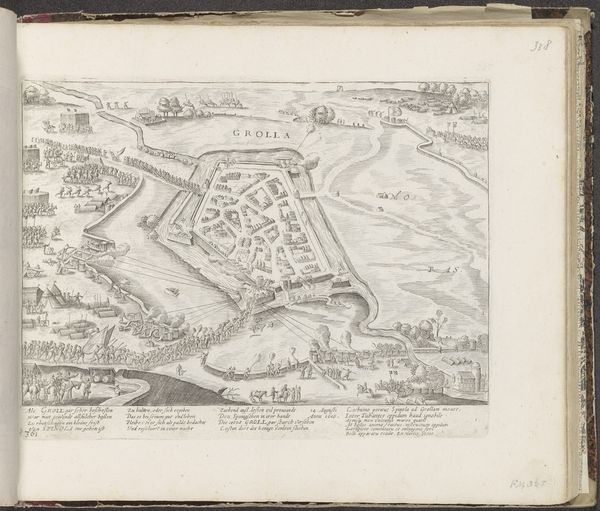
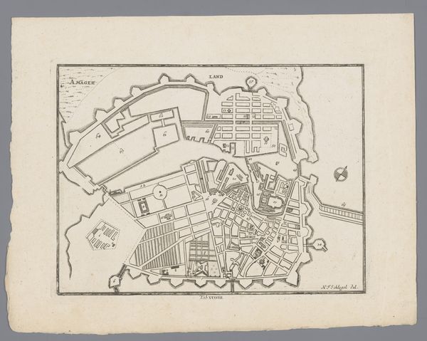
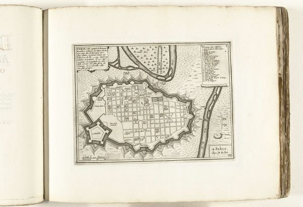
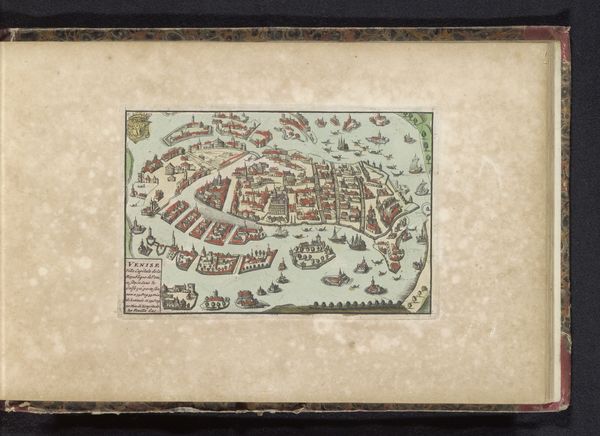
This is an anonymous map of Stockholm, whose date of creation is unknown, rendered with ink and watercolor on paper. Mapping has always been about power. In the early modern period, maps were tools of governance and control. They were commissioned and consumed by the elite, shaping perceptions of space, place and belonging. This rendering of Stockholm is less a mirror and more a construction, reflecting specific interests and worldviews. Here, the city is portrayed with an almost clinical precision, yet what stories are omitted from this seemingly objective representation? Who is included, who is excluded? What does it mean to map a place, to define its boundaries and dictate its spaces? As you consider the visual experience, reflect on these absences, the silences, the untold narratives that linger beneath the surface of this historical artifact.
Comments
No comments
Be the first to comment and join the conversation on the ultimate creative platform.