drawing, paper, pencil
#
drawing
#
medieval
#
landscape
#
paper
#
pencil
#
pencil work
#
realism
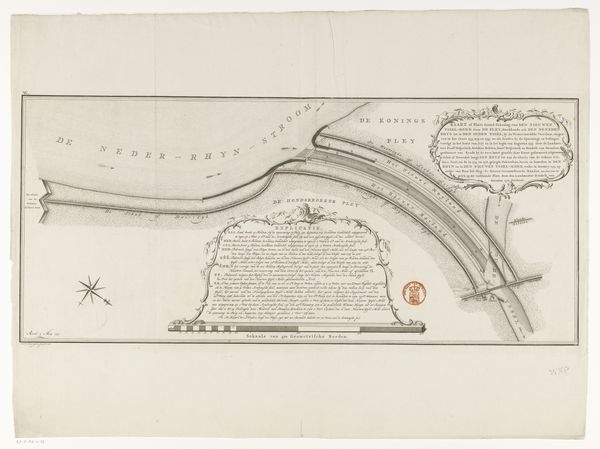
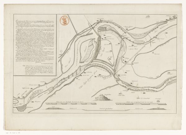
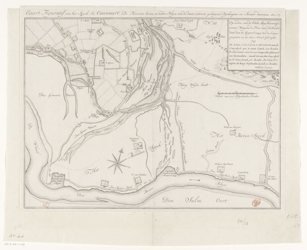
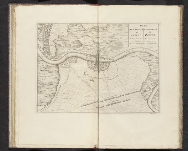
Dimensions: height 477 mm, width 640 mm
Copyright: Rijks Museum: Open Domain
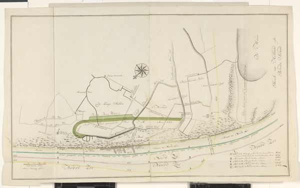
This is an anonymous map of West-Vlieland, meticulously drafted with pen and ink. Maps were not just about geographical accuracy; they were powerful tools that shaped colonial and military strategies. Consider, for example, how indigenous populations are represented, or often erased, in these cartographic endeavors. The act of mapping itself becomes an assertion of control, a way to define and dominate territory, with serious implications for those living on the land. The map serves as an archive of the ambitions and power dynamics inherent in exploration and conquest. While seemingly objective, this map reflects the worldview and priorities of its creators. It invites us to reflect on whose perspectives are privileged in the making of history. How do these historical documents shape our understanding of place, identity, and power today?
Comments
No comments
Be the first to comment and join the conversation on the ultimate creative platform.
More like this