print, paper, engraving
#
baroque
# print
#
landscape
#
paper
#
engraving
Dimensions: height 135 mm, width 165 mm
Copyright: Rijks Museum: Open Domain
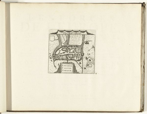
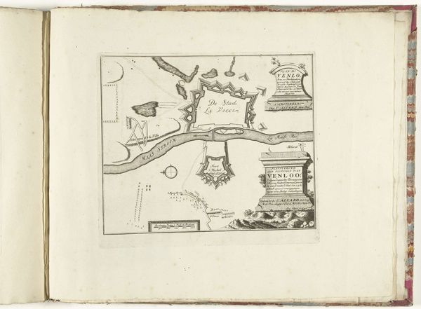
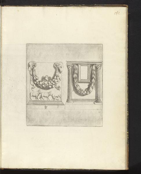
Editor: This is "Kaart van de Straat van Gibraltar, 1726," a print made on paper using engraving techniques by an anonymous artist. It's housed here at the Rijksmuseum. It strikes me as very precise, yet also sort of dreamlike because of its delicate lines. What do you see in this piece? Curator: I see a powerful statement about the political landscape of the early 18th century. The Strait of Gibraltar was, and still is, a crucial geopolitical chokepoint. This map, made during a period of intense colonial rivalry, isn't just a neutral depiction of geography. Who do you think it served? Editor: Perhaps it served a strategic or military purpose, given the emphasis on coastal features and the names of places. Curator: Exactly! Maps like these weren't simply about showing the lay of the land. They were tools of power, used to assert control and project influence. The very act of mapping could be seen as a form of claiming. The detailed rendering reinforces European dominance by portraying the Strait as an object that can be fully known and controlled. Do you notice anything about the people represented? Editor: Now that you mention it, I don't see any people depicted in the main map. Just the landscapes below it. Is that on purpose? Curator: I believe it is. Their absence is a way of erasing the existing populations and their connection to the land, implying a kind of *terra nullius,* even if that wasn't technically the case. It highlights a disturbing colonial logic at work. The focus on naval routes and strategic points emphasizes the perspective of the colonizers, ignoring indigenous narratives. Editor: I never considered maps in that light before! It's sobering to realize how they can reinforce power structures. Curator: Precisely! By engaging with the historical context, we can read this "Kaart van de Straat van Gibraltar" not just as a beautiful baroque print, but as a cartographic assertion of European dominance.
Comments
No comments
Be the first to comment and join the conversation on the ultimate creative platform.
