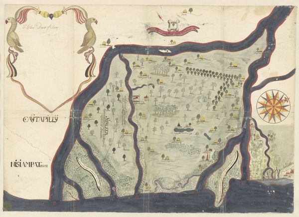
drawing, paper, watercolor, ink
#
drawing
#
dutch-golden-age
#
landscape
#
paper
#
watercolor
#
ink
#
genre-painting
Dimensions: height 309 mm, width 417 mm, height 355 mm, width 463 mm
Copyright: Rijks Museum: Open Domain
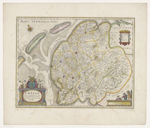
This map of Noordwelle was made with ink and watercolor on paper, by an anonymous maker. The muted colors and fine linework give it a delicate quality, belying the practical purpose it would have served. What I find compelling is how the map merges the seemingly objective language of cartography, with the subjective impressions of a skilled hand. Consider the fields, each rendered with slight variations of green, suggesting the textures of the land. Or the buildings, depicted with a charming simplicity that speaks to the rural setting. The ink lines, so carefully drawn, delineate property lines but also carry the imprint of the draftsman's hand. This wasn't just about recording space, but about understanding and representing a community. The map is a confluence of artistry and utility, dissolving distinctions between craft and fine art. By understanding these techniques, the meaning of the artwork becomes deeper.
Comments
No comments
Be the first to comment and join the conversation on the ultimate creative platform.
More like this