print, paper, engraving
#
baroque
# print
#
paper
#
coloured pencil
#
history-painting
#
engraving
Dimensions: height 158 mm, width 278 mm
Copyright: Rijks Museum: Open Domain
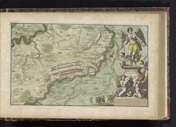
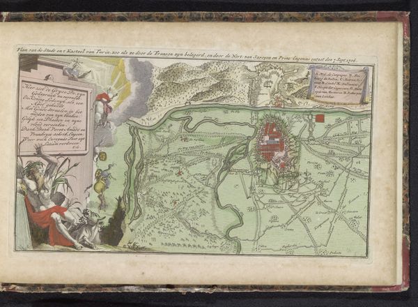
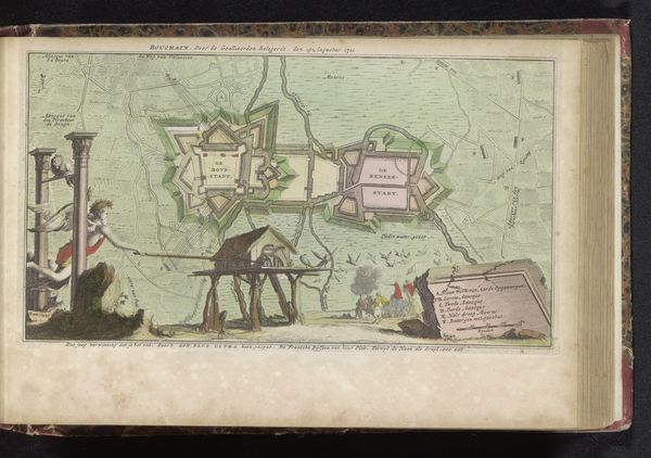
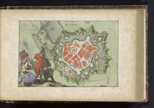
This hand-colored map depicts Aire-sur-la-Lys and Saint-Venant, likely created around the late 17th or early 18th century. It offers a bird's eye view of the landscape, but is more than just geographical. Look at the allegorical figures and military imagery at the bottom, which transforms the map into a statement of political power. Maps like this weren't simply about navigation; they were tools of statecraft. The details on the map—fortifications, waterways, and settlements—highlight the strategic importance of this region in the context of European conflicts. We can explore archives, military records, and period documents to understand what role this map played in the political landscape of its time. Maps are not neutral documents; they are cultural artifacts, shaped by the interests and ideologies of their creators and patrons.
Comments
No comments
Be the first to comment and join the conversation on the ultimate creative platform.
More like this