painting, paper, watercolor
#
baroque
#
painting
#
landscape
#
paper
#
watercolor
#
cityscape
#
watercolour illustration
#
genre-painting
#
history-painting
Dimensions: height 120 mm, width 170 mm
Copyright: Rijks Museum: Open Domain
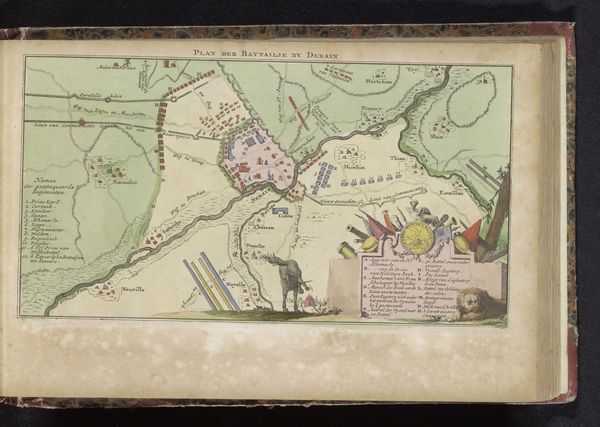
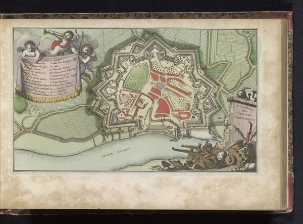
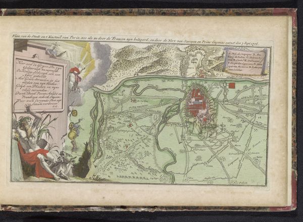
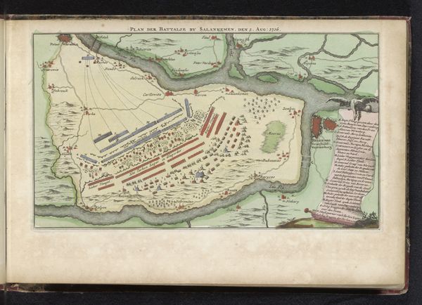
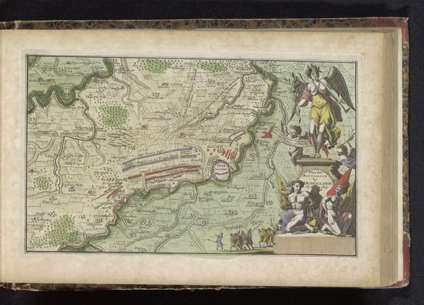
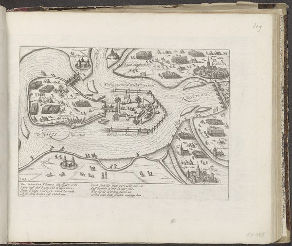
This is an anonymous etching, titled "Siege of Belgrade, 1717," created sometime around the event it depicts. The print illustrates the siege of Belgrade during the Austro-Turkish War, a conflict deeply rooted in the clash of empires and religious identities of the early 18th century. This map isn't just a record of military strategy, it's a visualization of power dynamics and cultural fault lines. It invites us to think about the human cost of territorial disputes and the complex legacies of imperial ambition. The Siege of Belgrade was a violent clash between the Ottoman Empire and the Habsburg Monarchy, each vying for control over the Balkans. It represented competing visions of cultural and religious dominance. Consider how the depiction of space and the act of mapping itself served as a tool for asserting control and shaping perceptions during a period marked by intense geopolitical rivalry. The personal stories of soldiers, civilians, and communities caught in the crossfire are often lost. This image serves as a powerful reminder of the intricate relationship between identity, conflict, and the stories we choose to tell.
Comments
No comments
Be the first to comment and join the conversation on the ultimate creative platform.
More like this