drawing, coloured-pencil, paper, ink, pen
#
drawing
#
coloured-pencil
#
narrative-art
#
landscape
#
perspective
#
paper
#
ink
#
coloured pencil
#
pen and pencil
#
pen
#
cityscape
#
genre-painting
#
academic-art
#
miniature
#
watercolor
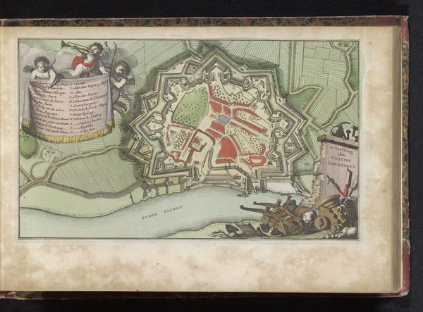
Dimensions: height 157 mm, width 261 mm
Copyright: Rijks Museum: Open Domain
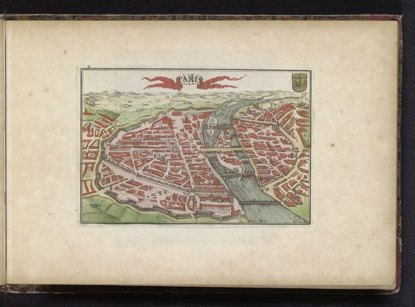
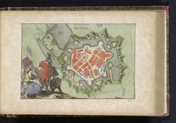
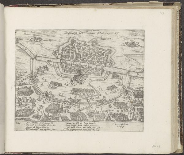
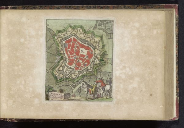
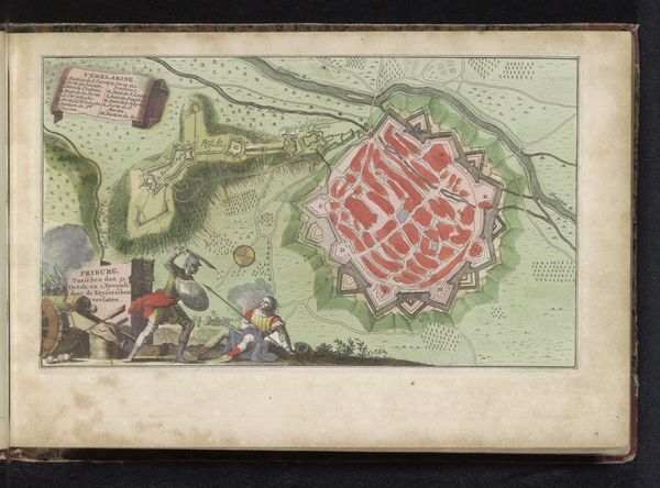
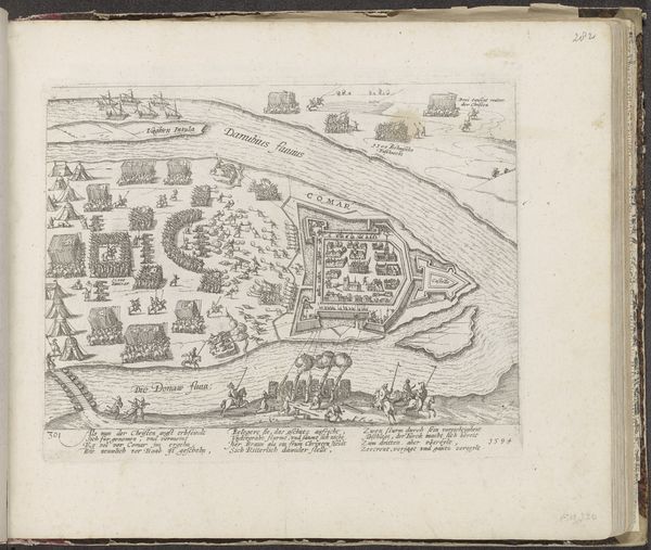
This printed map, made around 1710 by an anonymous artist, depicts the siege of Douai. It’s an engraving, meaning the design was incised into a metal plate, likely copper, which was then inked and pressed onto paper. Consider the labour involved: from mining and refining the metal to the skilled handwork of the engraver. The process is precise, requiring a deep understanding of perspective, topography and lettering. Look at the fine lines used to denote fields, fortifications, and buildings, and the neat script naming each location. Maps like these were vital tools of statecraft, offering military commanders strategic overviews of terrain and fortifications. The red colour highlights the built environment of the city itself, contrasting with the green open country surrounding it. The map is not just a representation of space, but an instrument of power, reflecting the political and economic forces shaping early 18th-century Europe. It reminds us that even seemingly neutral documents can be deeply embedded in social context.
Comments
No comments
Be the first to comment and join the conversation on the ultimate creative platform.
More like this