drawing, print, paper, ink
#
drawing
#
baroque
# print
#
landscape
#
paper
#
ink
#
coloured pencil
#
cityscape
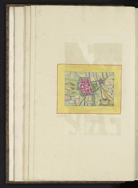
Dimensions: height 104 mm, width 149 mm, height 532 mm, width 320 mm
Copyright: Rijks Museum: Open Domain
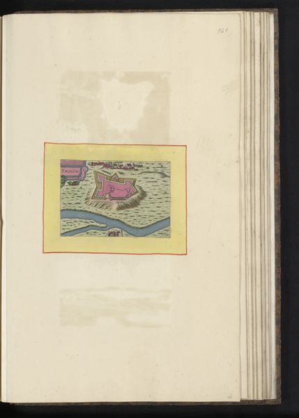
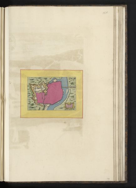
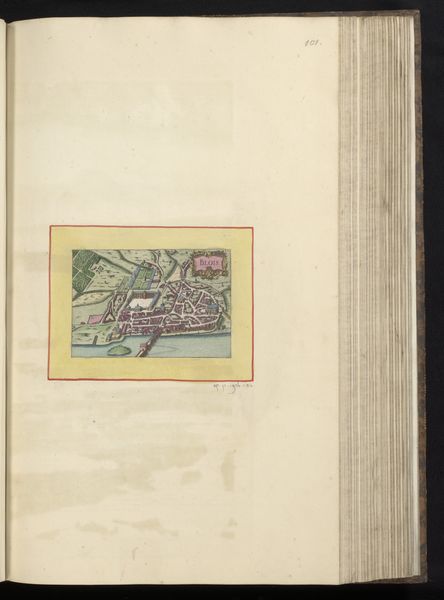
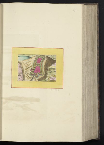
This is an anonymous plan of Sommières, rendered with ink and watercolour on paper. The aerial perspective offers a structured overview of the town’s layout, immediately grounding the viewer in a particular spatial understanding. The map is organized through geometric forms: houses and buildings are depicted as squares, rectangles, and triangles, rendered in striking shades of pink. The use of color is strategic, with the pink buildings contrasting against the muted greens and blues of the landscape. The river acts as a compositional element, dissecting the town and highlighting its dependence on natural resources, while the rigid layout of streets and fortifications suggests control and order. However, the map destabilizes the traditional notions of cartography. While offering a visual representation, it also engages with the symbolic coding of space, power, and urban planning. It encourages us to reflect on how we perceive and interact with our surroundings. Note how the formal tension between natural and artificial elements challenges any fixed meaning. It opens an interpretive space through a combination of aesthetic and conceptual engagement.
Comments
No comments
Be the first to comment and join the conversation on the ultimate creative platform.
More like this