About this artwork
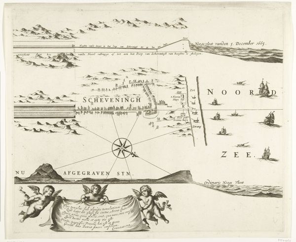
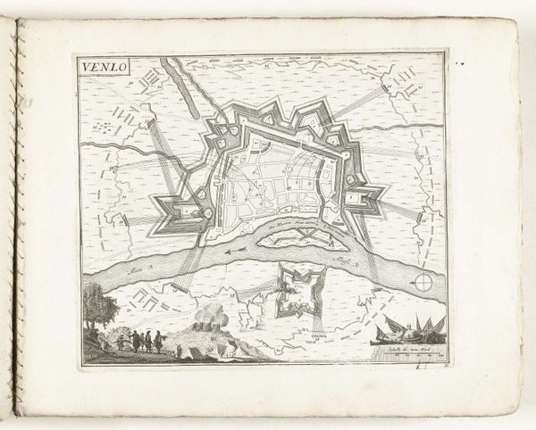
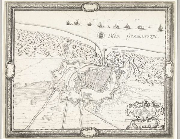
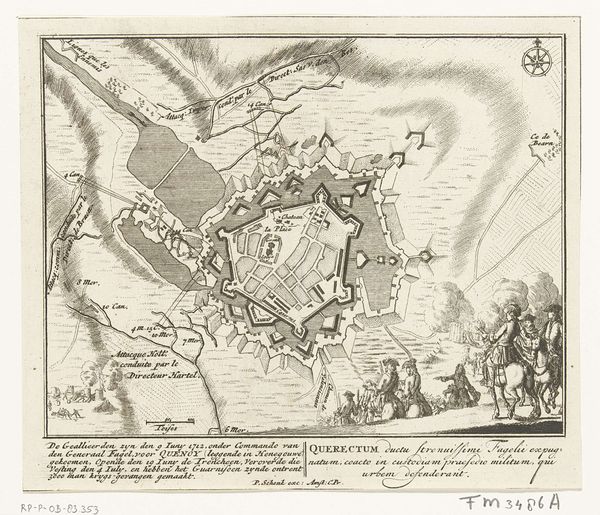
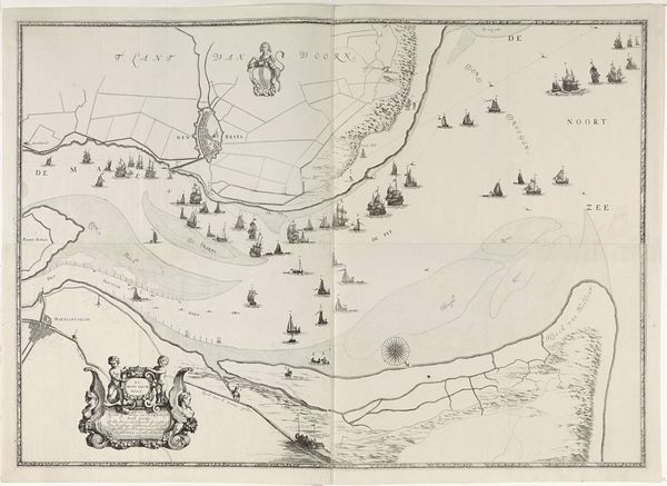
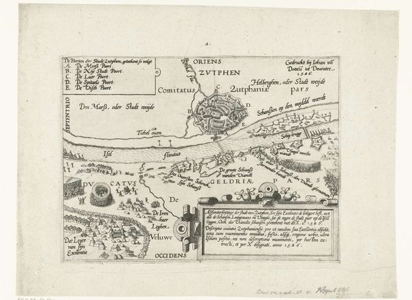
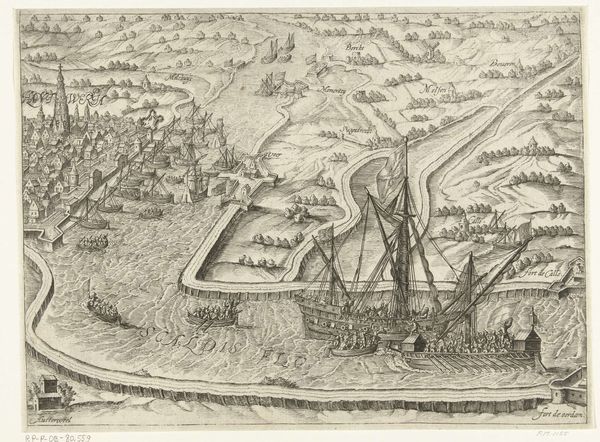
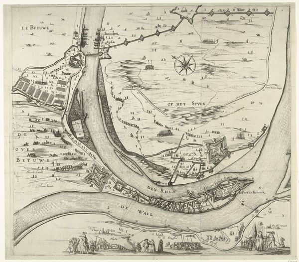
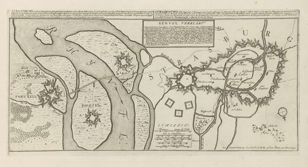
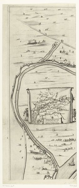
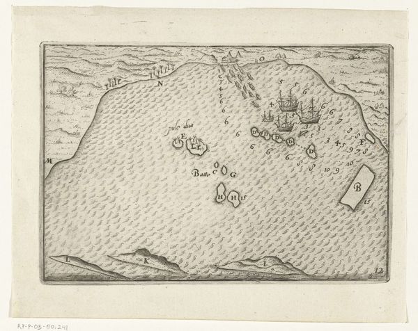
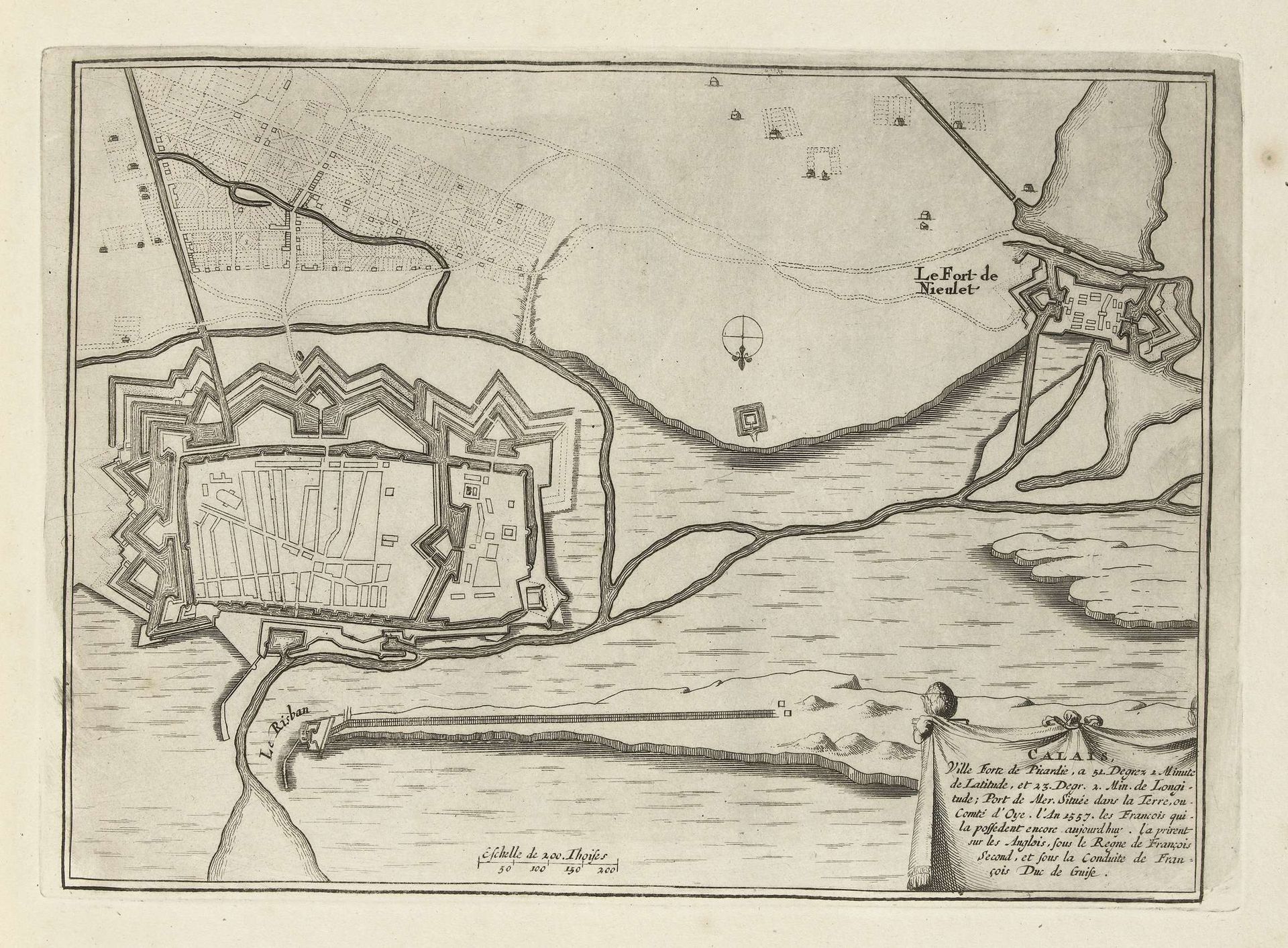
This print shows a bird’s eye view of Calais and was made in 1697. It is an etching – a design incised in acid on a metal plate, which is then inked and printed. The strength of an etching lies in its fine lines and details, ideal for cartography. This aesthetic was a perfect fit for the military and political aims of mapmaking at the time. The print emphasizes the city’s fortifications, evidence of the labor and materials invested in its defense. The stark contrast between the ordered architecture and the open land highlights human control over nature. The map doesn’t just show space; it shows power. Making maps such as this one requires collaboration between surveyors, artists, and printers. The finished product was a precious commodity, consumed by the elite. So, the next time you see an old map, remember that it’s more than just a picture – it's a record of skill, labor, and social hierarchy.
Artwork details
- Medium
- drawing, print, ink, engraving
- Dimensions
- height 201 mm, width 282 mm
- Location
- Rijksmuseum
- Copyright
- Rijks Museum: Open Domain
Tags
Comments
Share your thoughts
About this artwork
This print shows a bird’s eye view of Calais and was made in 1697. It is an etching – a design incised in acid on a metal plate, which is then inked and printed. The strength of an etching lies in its fine lines and details, ideal for cartography. This aesthetic was a perfect fit for the military and political aims of mapmaking at the time. The print emphasizes the city’s fortifications, evidence of the labor and materials invested in its defense. The stark contrast between the ordered architecture and the open land highlights human control over nature. The map doesn’t just show space; it shows power. Making maps such as this one requires collaboration between surveyors, artists, and printers. The finished product was a precious commodity, consumed by the elite. So, the next time you see an old map, remember that it’s more than just a picture – it's a record of skill, labor, and social hierarchy.
Comments
Share your thoughts