drawing, print, ink, engraving
drawing
baroque
pen drawing
landscape
perspective
ink
cityscape
history-painting
engraving
Dimensions: height 463 mm, width 519 mm
Copyright: Rijks Museum: Open Domain
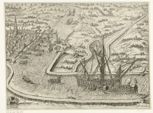
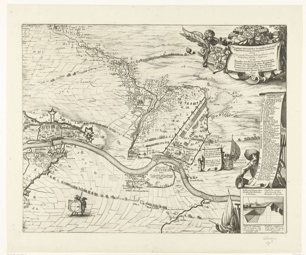
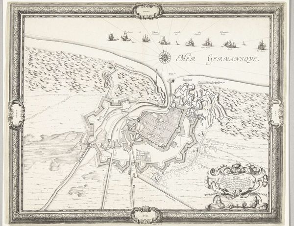
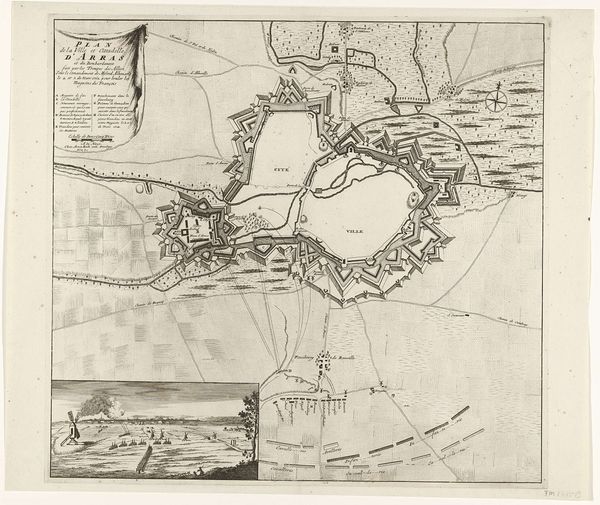
Willem Hondius created this print, "Siege of Schenckenschans," in 1635, a visual testament to military strategy and cartographic skill. The compass rose dominates, an ancient symbol connecting our mortal endeavors with the cosmos. This directional guide is more than a navigational tool; it appears in nautical charts across cultures, from medieval portolans to Polynesian stick charts, each iteration embodying humanity's yearning to map and master the unknown. The compass, in a way, reflects our own psychological orientation—an attempt to find our bearings in a world of constant flux. Notice how the fortifications and troop movements are rendered with geometric precision. This reflects a desire to impose order on the chaos of war. Ultimately, the recurrence of the compass rose reminds us of the cyclical nature of history. Like the seasons, empires rise and fall. We, the viewers, are drawn into this historical drama on a deep, subconscious level.
Comments
No comments
Be the first to comment and join the conversation on the ultimate creative platform.