print, watercolor, engraving
#
water colours
#
dutch-golden-age
# print
#
landscape
#
handmade artwork painting
#
watercolor
#
history-painting
#
engraving
#
watercolor
Dimensions: height 62.7 cm, width 94 cm
Copyright: Rijks Museum: Open Domain
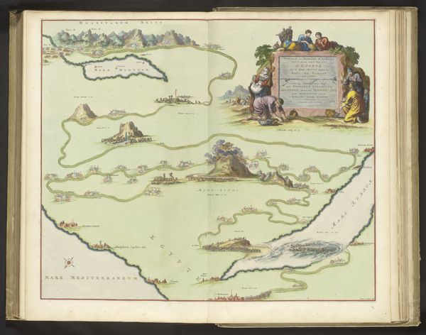
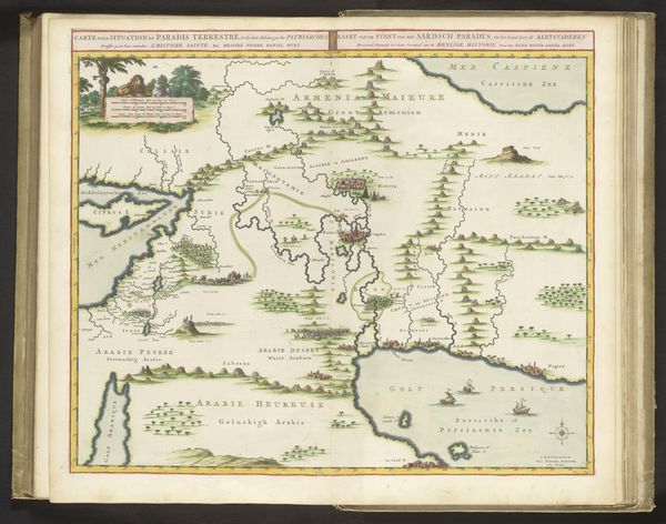
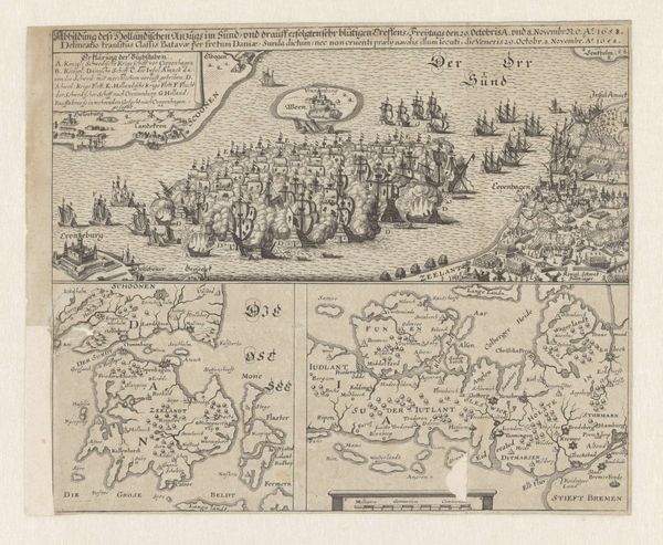
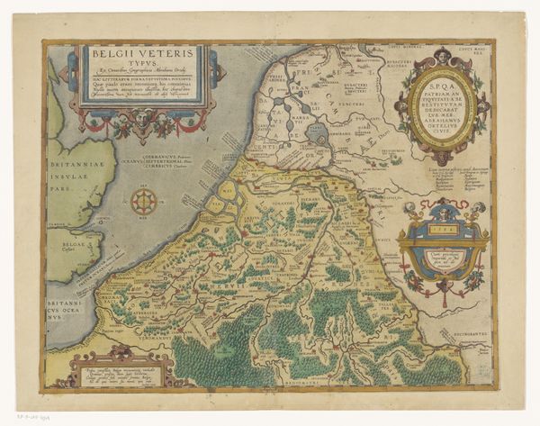
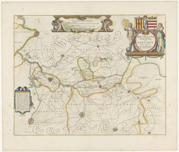
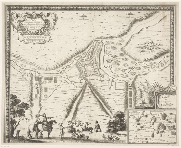
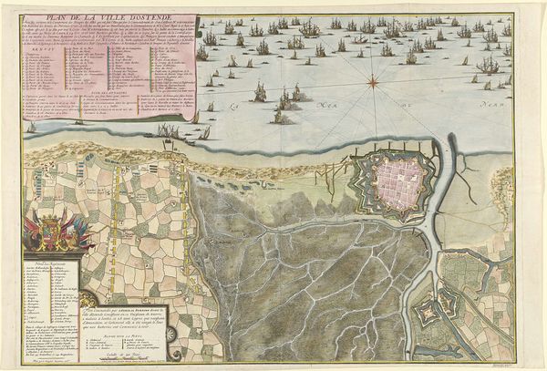
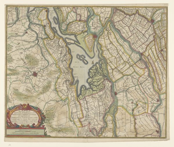
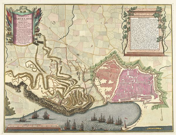
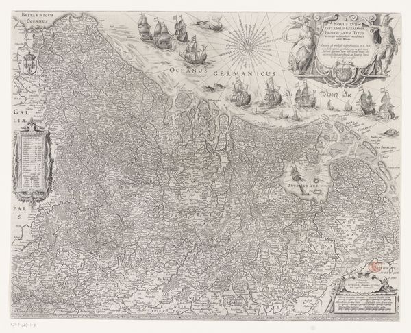
Editor: Here we have "Algemene kaart van Suriname," made between 1737 and 1757 by Alexander de Lavaux, utilizing watercolor and engraving. I find it fascinating how cartography becomes art. How would you approach its artistic merit? Curator: Let us observe the visual elements devoid of their representational function. Notice the intricate linear quality achieved through engraving. Consider how the watercolor washes delineate spaces, creating subtle tonal contrasts. The map transcends mere geographic depiction; it is a sophisticated study in form and texture. Editor: So, ignoring its function, you see value in its purely visual construction. The composition, perhaps? Curator: Precisely. Analyze the spatial relationships: the positioning of the compass rose, the ornamental cartouche, and the interplay of detailed and sparse areas. De Lavaux guides the eye using a structured system of graphic signs, an interplay of the signifier and the signified. How do these arrangements influence your perception? Editor: It's certainly deliberate. The eye does move from detail to open space and back again. I hadn't thought about a map in terms of semiotics before! It uses signs, lines, and color as language. I learned so much by considering only the formal structure and visual elements! Curator: Indeed. By reducing the image to its inherent qualities, its colors, shapes, lines, and the relationships that exist between these individual parts, the image may be evaluated free from emotional or historical prejudice. It opens us to the artwork's underlying order and compositional balance.
Comments
No comments
Be the first to comment and join the conversation on the ultimate creative platform.
