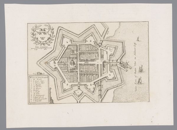
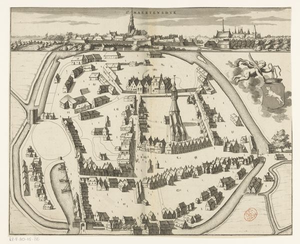
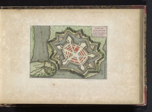
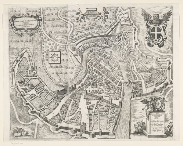
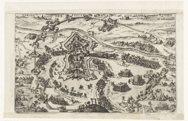
print, watercolor, engraving
landscape
watercolor
cityscape
islamic-art
engraving
watercolor
Dimensions: height 407 mm, width 533 mm
Copyright: Rijks Museum: Open Domain
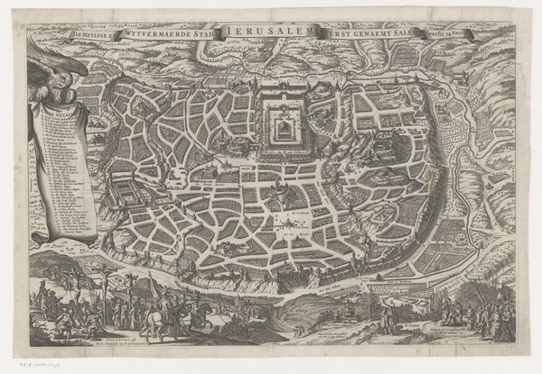
This printed map, titled "View of the Temple Mount in Jerusalem from the East," was made by an anonymous artist. The map gives us a bird’s eye view of Jerusalem and its surroundings. Printed on paper, it presents a meticulously rendered depiction of the city, where the urban blocks are colored in a reddish hue and the surrounding topography is expressed in green. Notice how the use of engraving and printing techniques allowed for the mass production of such images, making information accessible to a wider audience. The map is also embellished with detailed illustrations, showcasing objects that include the Ark of the Covenant, a golden menorah, and other implements associated with religious practices. Each object would have demanded a high degree of skill and labor to create. The map therefore blends technical accuracy with artistic representation, reflecting the historical, cultural, and religious context of the city. Thinking about how it was produced encourages us to expand our understanding of Jerusalem itself. The intersection of graphic reproduction and symbolic significance enhances the map's impact, bridging the gap between documentation and artistic expression.
Comments
No comments
Be the first to comment and join the conversation on the ultimate creative platform.