drawing, print, ink, pen, engraving, architecture
#
drawing
#
toned paper
#
light pencil work
# print
#
sketch book
#
landscape
#
personal sketchbook
#
ink
#
ink drawing experimentation
#
geometric
#
pen-ink sketch
#
pen work
#
sketchbook drawing
#
pen
#
storyboard and sketchbook work
#
academic-art
#
sketchbook art
#
engraving
#
architecture
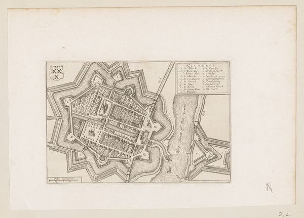
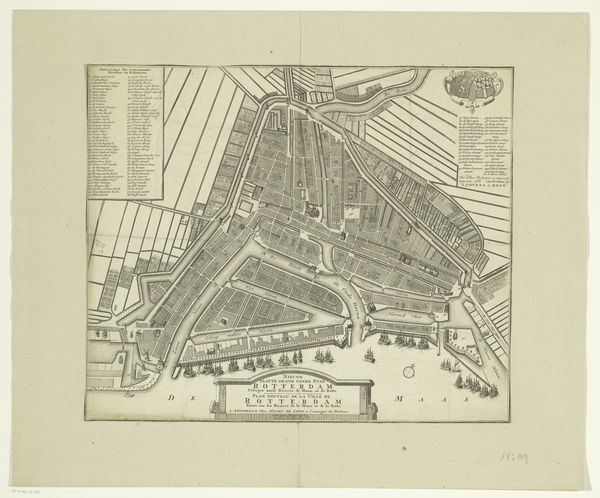
Dimensions: height 322 mm, width 435 mm
Copyright: Rijks Museum: Open Domain
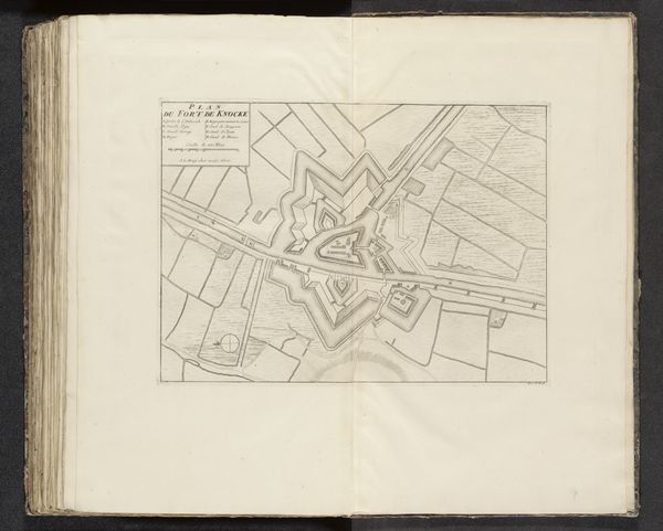
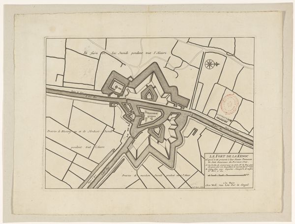
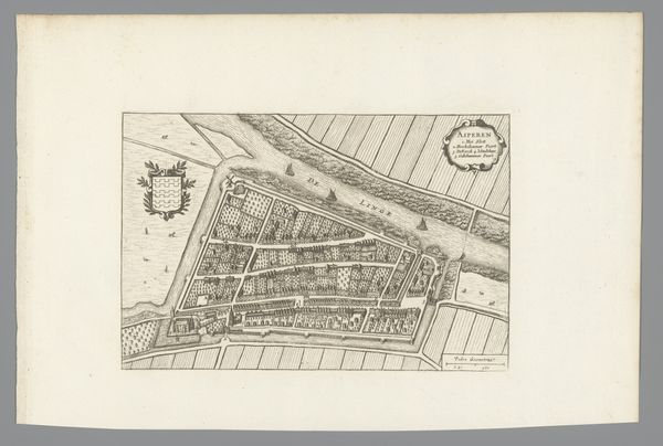
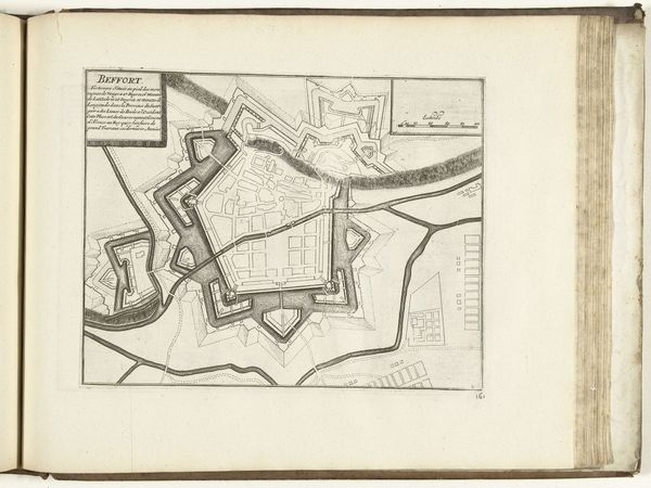
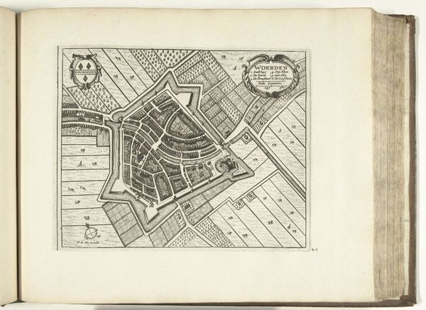
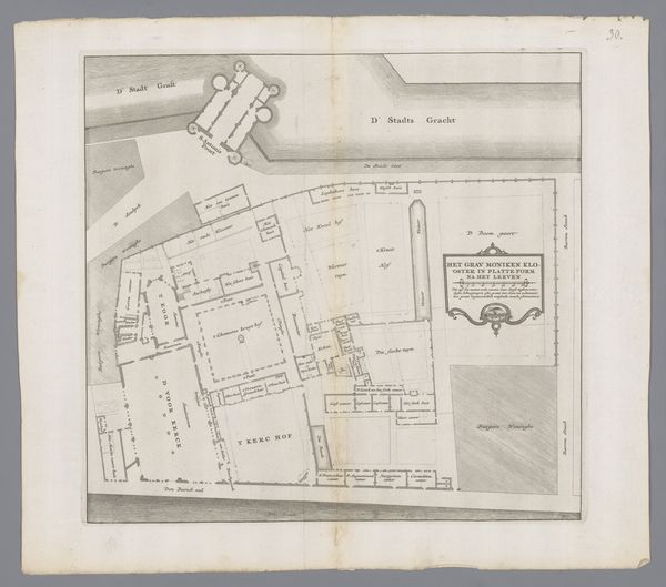
This is an anonymous drawing of Fort Knokke, made in 1712. A plattegrond, or ground plan, like this one, was a tool of military engineering and territorial control in the early 18th century. Made in the Netherlands during a period of intense international conflict, the image gives us a bird’s eye view of the fort and surrounding landscape, employing visual codes to denote strategic features like ramparts, canals, and fields of fire. The geometric precision and rational layout reflect the influence of Enlightenment thinking on military strategy and the Dutch Republic's investment in defending its borders. The map is not just a technical drawing, it’s a political statement about power, security, and the relationship between the state and its territory. Understanding the social and institutional context of this image requires us to consider the history of cartography, military architecture, and Dutch political history. Through archival research, we can uncover the networks of power and knowledge that shaped the making and circulation of images like this one.
Comments
No comments
Be the first to comment and join the conversation on the ultimate creative platform.
More like this