drawing, print, etching, ink
#
drawing
#
baroque
# print
#
etching
#
landscape
#
etching
#
ink
#
cityscape
Dimensions: height 495 mm, width 586 mm
Copyright: Rijks Museum: Open Domain
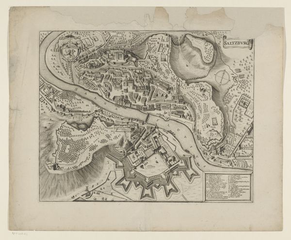
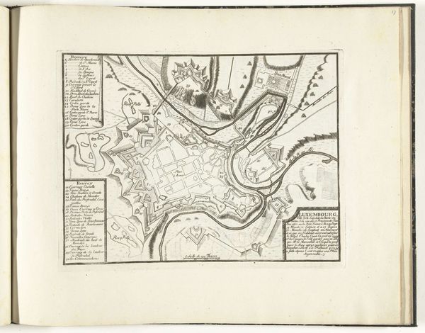
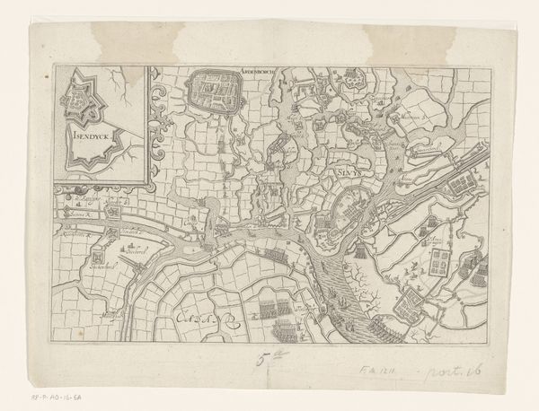
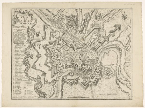
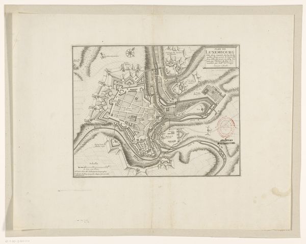
This is an anonymous map of Luxembourg. It is an engraving made during a period in which there were many wars in Europe. These images are highly formalized to serve their practical purpose. This map is a military rendering, and it uses hatched lines to indicate the height of hills. It also shows, in great detail, the fortifications and complex earthworks that had grown up around the city. These maps were functional, but in some cases, they were also a form of propaganda. This type of map also served a role within institutions such as the military and the government, where information was power. These maps document a political agenda that involved military power and control over territory. To find out more about the history and politics of the imagery, you could examine military records from the time. By looking at such resources, you may develop a richer sense of the map as an artifact of its place and time.
Comments
No comments
Be the first to comment and join the conversation on the ultimate creative platform.
More like this