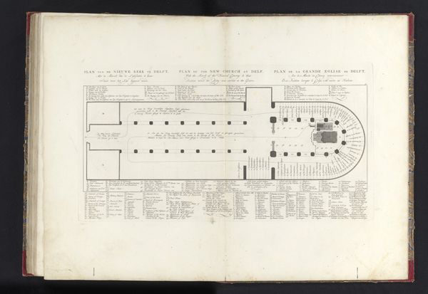
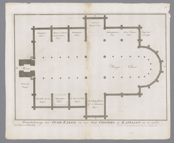
print, engraving
dutch-golden-age
geometric
line
cityscape
engraving
Dimensions: height 321 mm, width 464 mm
Copyright: Rijks Museum: Open Domain
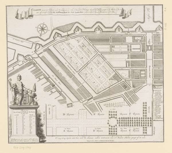
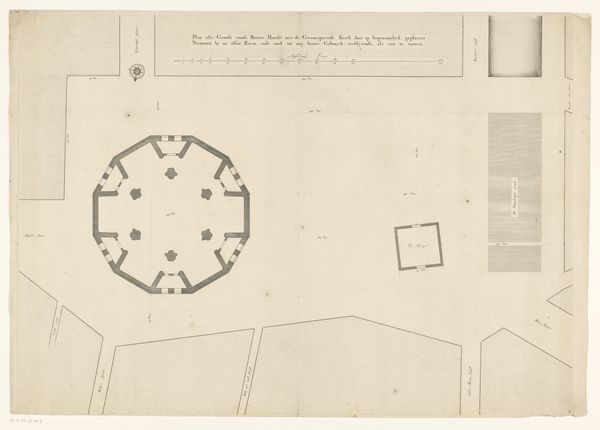
This is Hendrik de Leth’s copper engraving from 1733, depicting district 30 in Amsterdam. At first glance, it seems a simple map, but look closer! Notice the compass rose. This ancient symbol, with its roots in cosmological diagrams, represents orientation and navigation, not just of physical space, but of life's journey. Its presence here reminds us that even in the most detailed plans, there is always an element of the unknown, a need to find our way. The grid-like layout of the streets, so precise and orderly, echoes similar urban plans from antiquity to the Renaissance, reflecting humanity’s desire to control and structure the world. Yet, the subtle imperfections and irregularities hint at the organic, chaotic forces that resist such rigid control. Like the labyrinth, the grid symbolizes the complex path of life, fraught with challenges and choices. This tension between order and chaos engages us on a subconscious level, reminding us of the ever-present struggle to find our place in the world. The symbols that construct this map are not static. They live, breathe, and invite contemplation.
Comments
No comments
Be the first to comment and join the conversation on the ultimate creative platform.