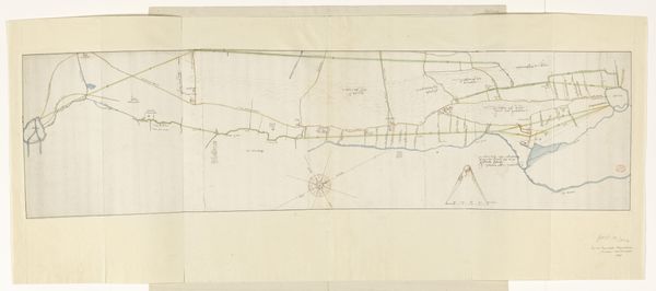
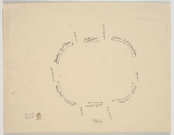
Topografische schetskaart van Buitenzorg (Bogor), West-Java c. 1816 - 1846
0:00
0:00
drawing, print, paper, watercolor, ink
#
drawing
#
water colours
#
ink paper printed
# print
#
asian-art
#
landscape
#
paper
#
watercolor
#
ink
#
watercolor
Dimensions: height 226 mm, width 383 mm
Copyright: Rijks Museum: Open Domain
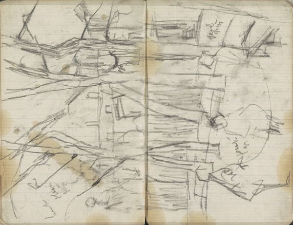
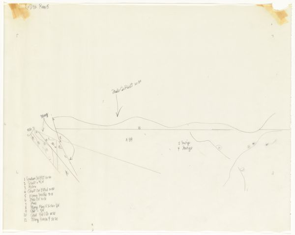
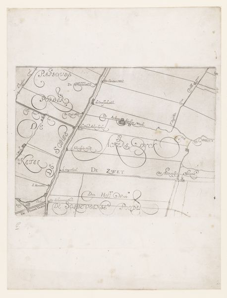
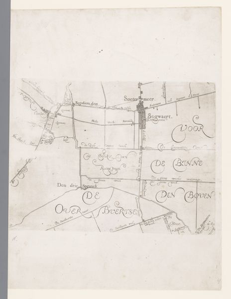
Adrianus Johannes Bik made this topographical sketch map of Buitenzorg, now Bogor in West Java, using pen and brush with blue and brown ink. Bik's work emerges from the complicated history of Dutch colonialism in Indonesia. The map provides a bird's eye view of the landscape, detailing roads, buildings, and the division of space. During the Dutch colonial period, maps like these were tools of power, illustrating control over territory. The detached, objective perspective flattens the lived experiences and erases the identities of the local people. Consider the emotional impact of such a map on those whose homes and lives were being charted and controlled. What does it mean to have your land surveyed and mapped by an invading force? How did this cartography shape the future of Buitenzorg and its inhabitants? This piece reflects the uneasy intersection of exploration, exploitation, and identity in the colonial narrative.
Comments
No comments
Be the first to comment and join the conversation on the ultimate creative platform.
More like this