drawing, print, etching, paper, pen
drawing
baroque
etching
landscape
paper
pen-ink sketch
pen
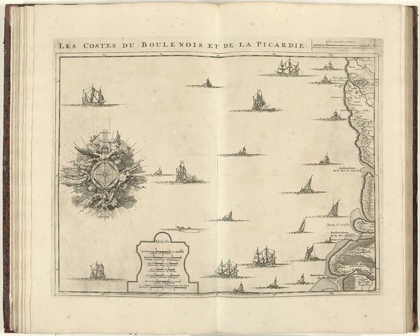
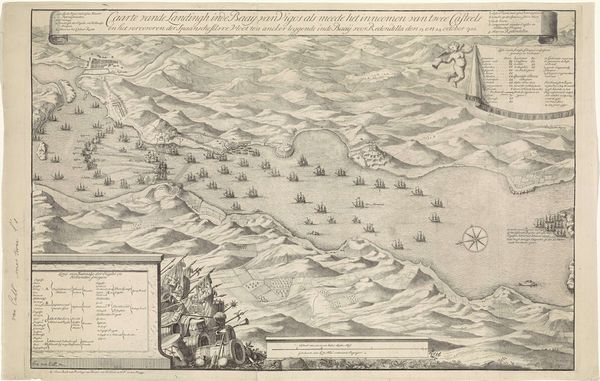
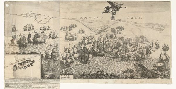
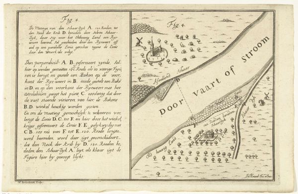
Dimensions: height 448 mm, width 565 mm
Copyright: Rijks Museum: Open Domain
This map of the Strait of Dover was made in 1709 by Jacobus Harrewijn, using engraving on paper. It's not just a depiction of land and sea, but a record of human activity, achieved through a labor-intensive process. Engraving, unlike drawing or painting, is an indirect process. The artist doesn’t directly apply marks to the paper; instead, they incise lines into a metal plate, which is then inked and printed. Harrewijn would have used a tool called a burin to cut those lines, each one representing a contour of the coast, a wave, or a ship. Consider the implications of this technique. Every line is a deliberate act, a decision about what to include and what to leave out. And each print pulled from the plate bears the mark of that labor, a physical trace of the artist's hand. In this context, the map becomes more than just a navigational tool. It’s a testament to the engraver's skill, and a reminder of the human effort required to understand and represent the world. It challenges our traditional distinctions between art, craft, and labor.
Comments
No comments
Be the first to comment and join the conversation on the ultimate creative platform.