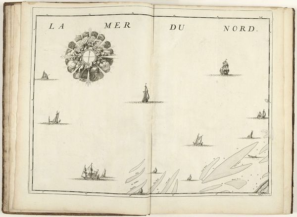
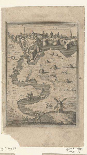
print, ink, engraving
baroque
pen sketch
landscape
ink
cityscape
engraving
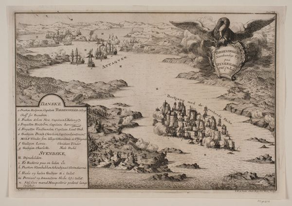
Dimensions: height 443 mm, width 573 mm
Copyright: Rijks Museum: Open Domain
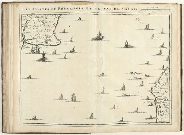
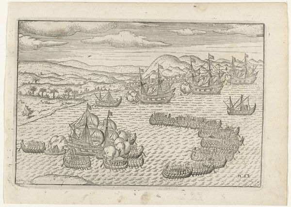
Jacobus Harrewijn produced this map of the French coast at Boulogne and Picardy in 1709 using etching. Created during the height of the Dutch Golden Age, the map reflects a society deeply invested in maritime power and global trade. At the time this map was made, cartography was not just about geographical accuracy; it was a tool of empire, projecting power and control over distant lands and seas. Consider the elaborate embellishments: the compass rose, a symbol of navigation and discovery, and the meticulously rendered ships, hinting at naval dominance. Each element underscores the intersection of art, science, and politics in the 18th century. Reflect on the countless untold stories of the sailors, merchants, and colonizers who traversed these waters. This map isn't just an artifact; it's a testament to the complex interplay of ambition, exploration, and exploitation that shaped the world.
Comments
No comments
Be the first to comment and join the conversation on the ultimate creative platform.