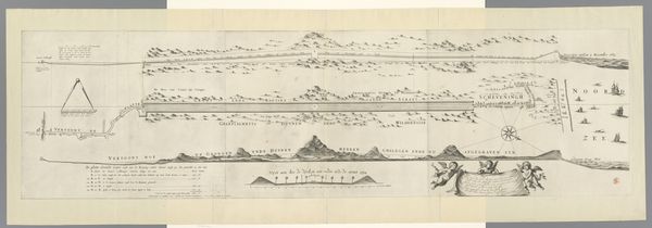
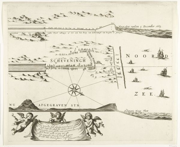
Kaart van de aanleg van de straatweg van Den Haag naar Scheveningen, 1664-1665 (tweede blad) 1667 - 1713
0:00
0:00
frederikdewit
Rijksmuseum
drawing, paper, ink
#
pen and ink
#
drawing
#
dutch-golden-age
#
landscape
#
paper
#
road
#
ink
#
cityscape
Dimensions: height 421 mm, width 513 mm
Copyright: Rijks Museum: Open Domain
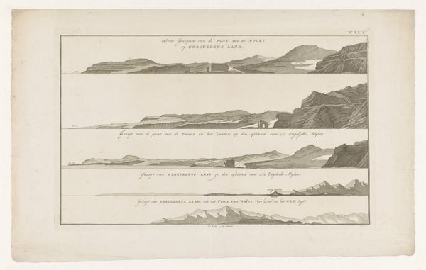
This is Frederik de Wit's "Map of the Construction of the Highway from The Hague to Scheveningen, 1664-1665," a detailed etching offering an intimate view into a pivotal Dutch infrastructure project. Consider the 17th century Dutch Republic, a powerhouse of global trade and cultural innovation, yet built on land partially reclaimed from the sea. This map isn't just about roads; it’s about humankind reshaping nature to serve its ambitions. Roads like this one facilitated commerce and communication, yet also symbolized the ongoing struggle to control and manage the natural environment. De Wit shows us the road's path through dunes and wilderness, framing it within the existing landscape. Notice the meticulous details and consider the labor, the engineering, and the sheer will required to construct such a road in this environment. The map offers insight into the complex relationship between the Dutch and their landscape, echoing broader themes of ambition, resilience, and the drive to shape the world. While seemingly a simple document, it underscores our continuous negotiation with the world around us.
Comments
No comments
Be the first to comment and join the conversation on the ultimate creative platform.
More like this