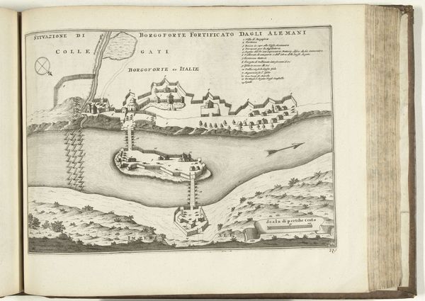
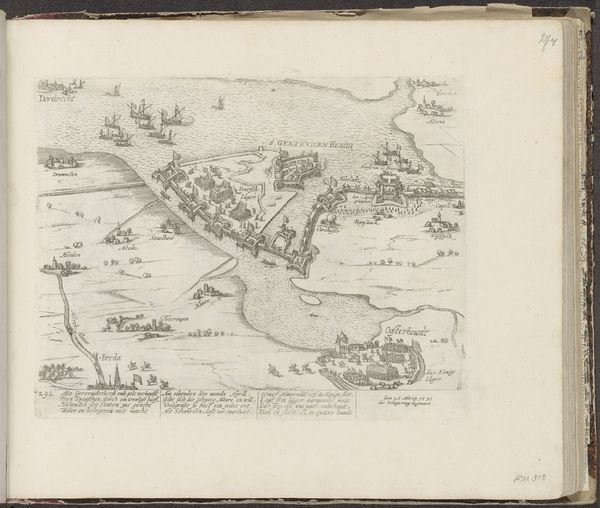
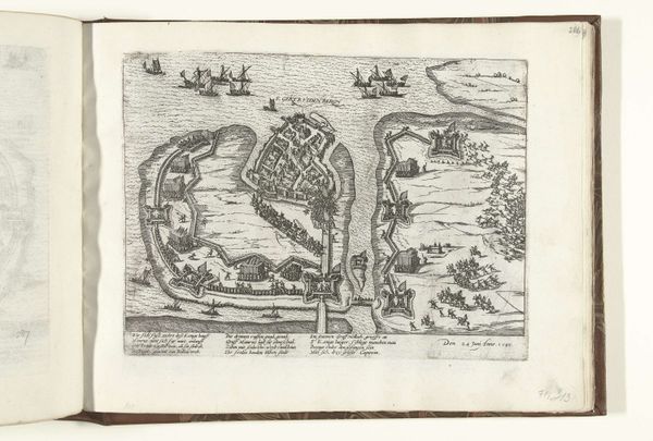
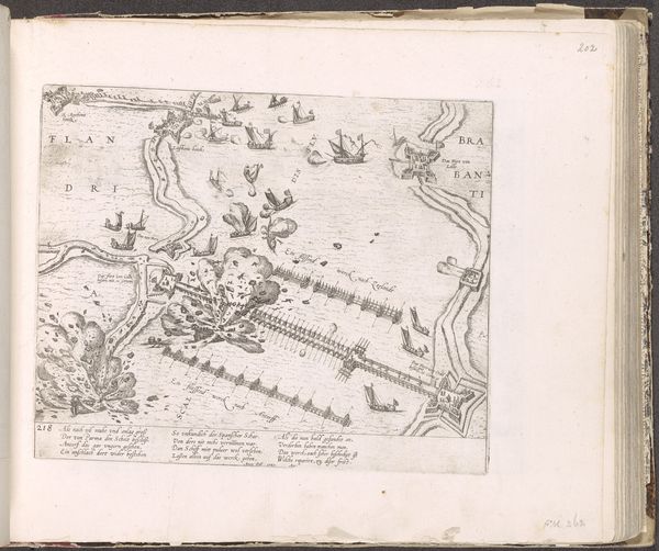
drawing, paper, ink, engraving
#
drawing
#
landscape
#
paper
#
ink
#
geometric
#
cityscape
#
engraving
#
realism
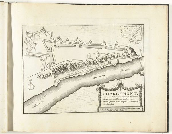
Dimensions: height 230 mm, width 293 mm
Copyright: Rijks Museum: Open Domain
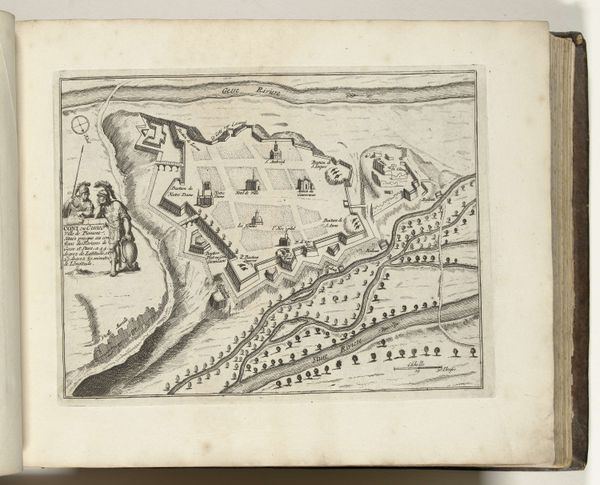
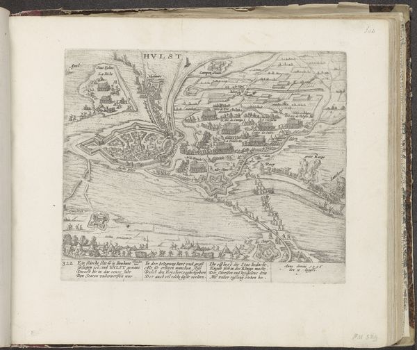
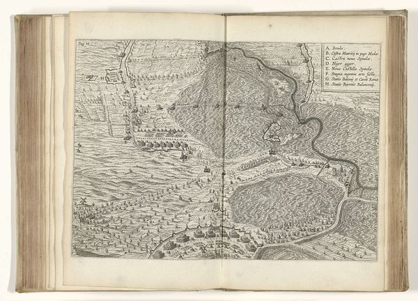
Curator: Here we have "Plattegrond van Charle-Mont," a plan of Charle-Mont from around 1693-1696, etched by an anonymous artist. The work is on display here at the Rijksmuseum and the medium is ink on paper. Editor: The precision of the lines strikes me. A town rendered as an intricate defense mechanism. It's less about dwelling, more about controlled space. I see fortifications but where's the vibrant street life? Curator: That rigidity is characteristic of city plans designed for strategic control during that period. The geometric layout is a symbolic reflection of power structures. You can sense that emphasis on order over organic development in those precise angles. It projects invincibility. Editor: Yes, but what stories are missed by only depicting the framework of authority? Who lived here, loved here, resisted here? That river that seems so innocuous, it served as border and a strategic asset. People must have crossed it for work, escape, or conquest. I imagine all this erasure served the agenda. Curator: True, maps aren’t neutral documents. They highlight certain information and leave out a great deal. The stark style almost turns it into an abstract piece when devoid of anecdotal depictions of daily life. It reminds us of how powerful the visual symbols can be in defining a group's identity, particularly its military identity. Editor: It is indeed very potent propaganda. A potent reminder that behind every imposing fortress there are power dynamics and lived experiences often disregarded. The focus on strategic advantage speaks volumes about how landscapes and even urban plans have become extensions of domination and control throughout history. Curator: I see your point; that visual language extends beyond functionality to reveal the underlying ideology. That tension of revealing only a part of the story can offer profound reflection. Editor: Agreed. This rigid layout reminds us how easily human stories can become overshadowed by designs of authority. It is precisely that absence which demands scrutiny.
Comments
No comments
Be the first to comment and join the conversation on the ultimate creative platform.
More like this