print, engraving
#
baroque
# print
#
landscape
#
pen-ink sketch
#
cityscape
#
engraving
Dimensions: height 182 mm, width 278 mm
Copyright: Rijks Museum: Open Domain
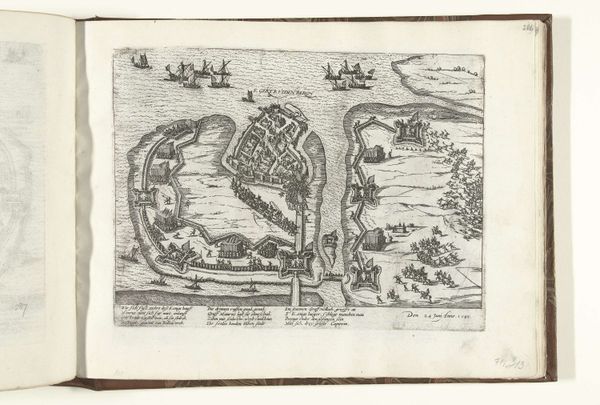
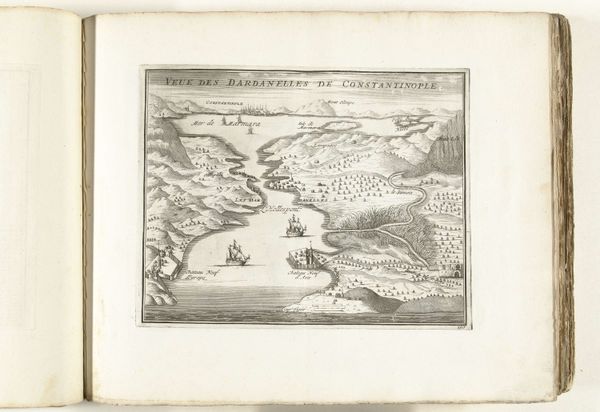
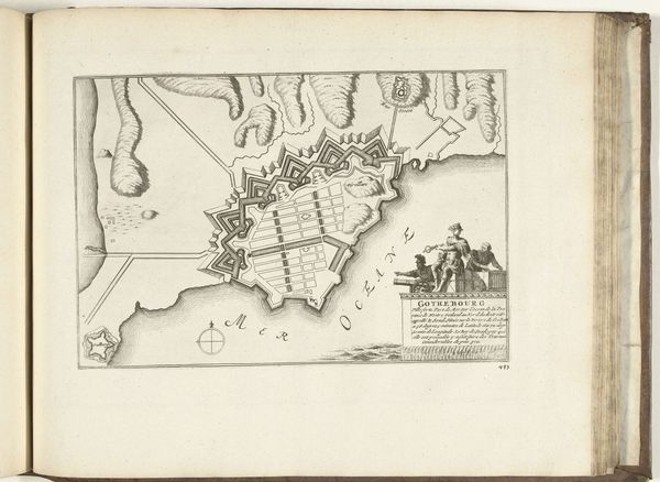
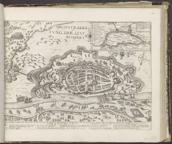
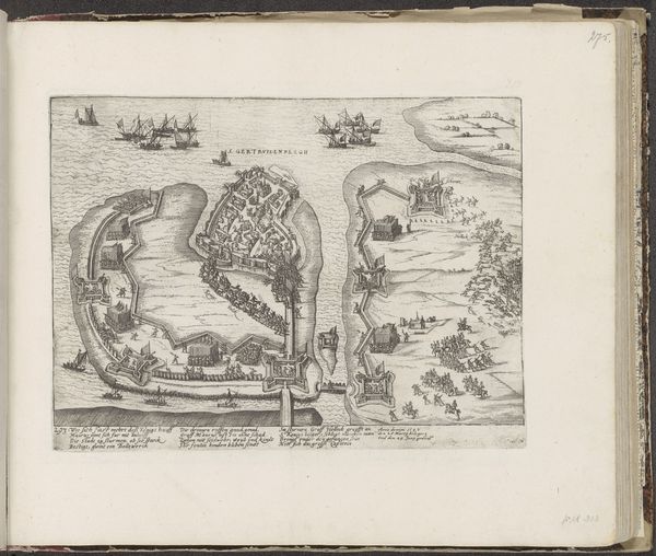
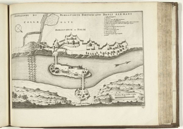
This is an anonymous print from around 1702, showing a bird’s-eye view of Senj, a coastal town in modern-day Croatia. Images such as this one, produced in the Netherlands, speak to a fascinating moment in the history of cartography. The Dutch Republic in the 17th and 18th centuries became a center for mapmaking and printing, creating detailed visual records of cities, coastlines, and fortifications. But this image does more than just represent a place. It embodies Dutch commercial and military interests, reflecting the country’s competition with other European powers for trade routes and strategic locations. The attention to Senj’s defenses suggests the importance of the port in a contested geopolitical landscape. To fully understand the image, we’d need to dig into Dutch trade records, military archives, and travel accounts. Art isn’t just about aesthetics; it’s also about power, politics, and economics.
Comments
No comments
Be the first to comment and join the conversation on the ultimate creative platform.
More like this