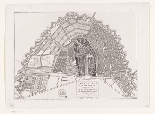
Dimensions: height 930 mm, width 610 mm
Copyright: Rijks Museum: Open Domain
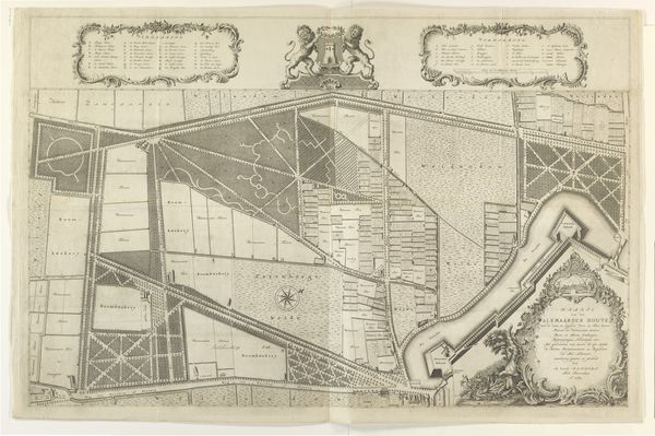
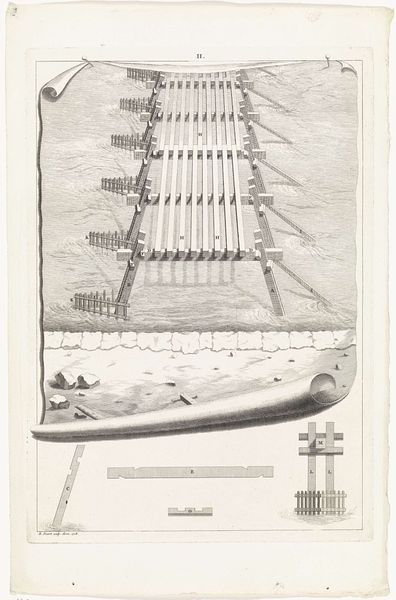
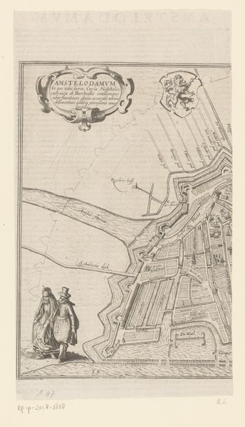
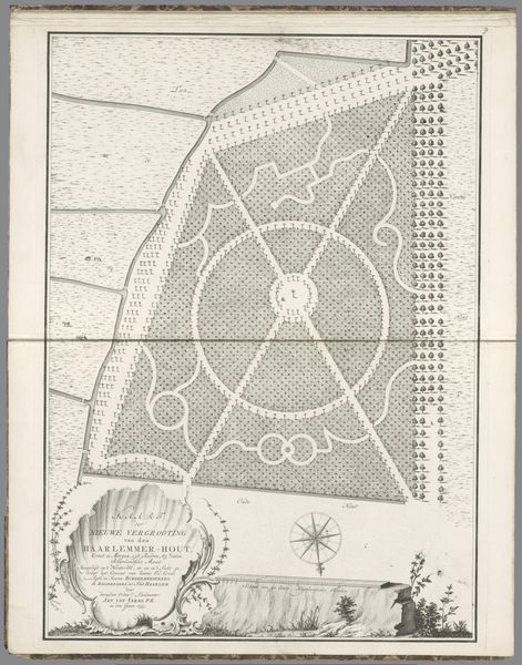
Editor: This is the "Plattegrond van de Haarlemmerhout," a print made with ink on paper by Hendrik Spilman in 1769. It looks like a very detailed, almost scientific map of a park or estate. What is striking to me is the imposition of geometry on nature, particularly the contrast between the structured gardens and what looks like a more natural wooded area. How do you interpret this tension? Curator: The tension you've observed is absolutely central. Consider the historical context. By 1769, the Dutch Republic was already in decline, its golden age a memory. This "Plattegrond" speaks to the desire to order and control the natural world, mirroring the political and social aspirations of the time. Can you see how the visual language, like the precise lines and geometric shapes, projects a certain image of power and refinement? Editor: Yes, I can see that now. It's like the map itself is a statement of ownership and control, a visual claim on the landscape. And the coats of arms, are those further affirmations of status? Curator: Precisely! These symbols locate the landscape within a very specific social hierarchy. It also presents the Haarlemmerhout not simply as a geographical location, but as a curated space invested with political meaning. I wonder, how does viewing this image as a tool of socio-political representation rather than just an aesthetic object shift your understanding of its artistry? Editor: It changes it completely! I was initially focused on the aesthetic contrast, but understanding its socio-political function reveals a power dynamic I hadn’t considered. It makes the artwork seem almost like a propaganda piece, showcasing the wealth and control of the elite. Curator: Exactly! What started as a beautiful landscape transforms into a reflection of complex power structures. Editor: Thanks, I never thought about landscapes being political! Curator: That's the beauty of looking through a historical lens. We discover how art actively participates in shaping the public's understanding of society.
Comments
No comments
Be the first to comment and join the conversation on the ultimate creative platform.
More like this