drawing, print, ink, pen, engraving
#
drawing
# print
#
pen sketch
#
landscape
#
ink
#
pen
#
history-painting
#
engraving
#
miniature
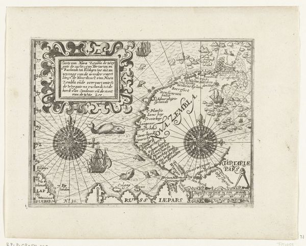
Dimensions: height 142 mm, width 182 mm
Copyright: Rijks Museum: Open Domain
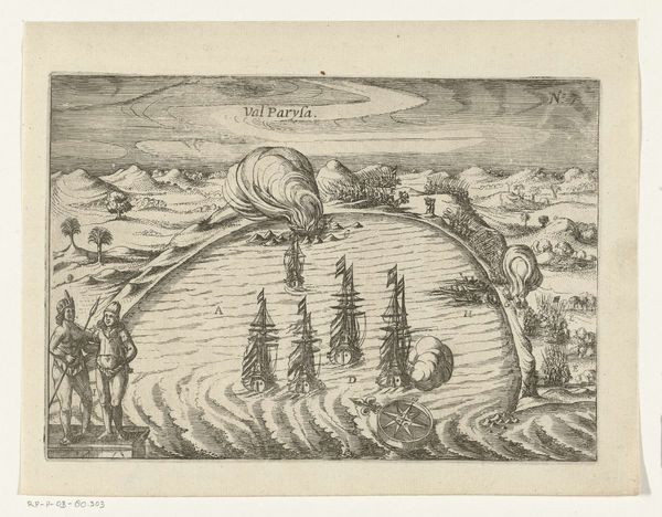
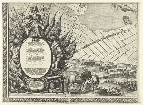
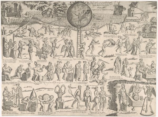
This is an anonymous map of the Russian coast with the town of Kola, created in 1597. The map offers a glimpse into the historical context of the late 16th century, when European powers were expanding their geographical knowledge and influence. Notice how the map depicts both geographical features and the people inhabiting the region of Lappi. The figures are shown engaged in various activities, offering insight into their lifestyle and customs. Representations of people on maps were not merely descriptive; they were also a form of cultural interpretation, laden with the mapmaker’s own biases and understandings. Consider what this map reveals, and what it conceals, about the relationship between the mapmaker and the mapped. How might this depiction of the Russian coast and its inhabitants reflect or shape the viewers understanding of this region and its people? The emotional impact lies in recognizing the power dynamics inherent in representation, urging us to consider the diverse perspectives often absent from historical records.
Comments
No comments
Be the first to comment and join the conversation on the ultimate creative platform.
More like this