print, paper, photography
# print
#
paper
#
photography
#
orientalism
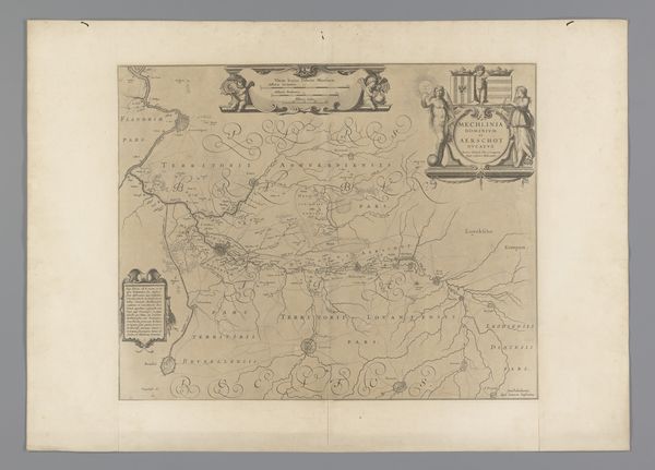
Dimensions: height 178 mm, width 131 mm
Copyright: Rijks Museum: Open Domain
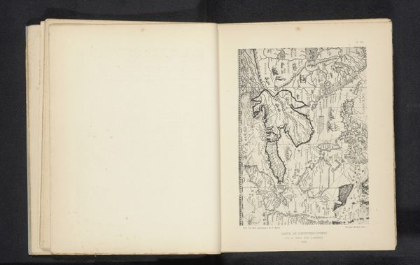
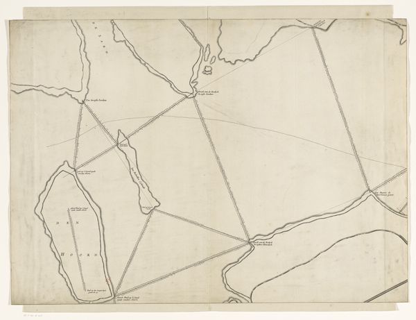
Editor: So, this is a photographic reproduction of a map of India, dating from before 1885, attributed to Alexandre, using print and paper. It’s so faint, almost ghostly. It gives the impression of history slowly fading. How do you interpret this image, especially considering its age and what it represents? Curator: Well, seeing this through a historical lens, it’s hard not to consider the immense socio-political implications of mapping, especially in the context of colonialism. Maps weren't just neutral tools; they were instruments of power. How do you think this particular map might have been used? Editor: I suppose it could have been used for administrative or military purposes, right? To consolidate control and understand resources. Curator: Exactly. Think about who was commissioning these images. It highlights the institutional structures at play, dictating not just the geography, but also the representation of power. It prompts us to question the "objective" nature of maps, suggesting a constructed vision influenced by political motives. The photograph aestheticizes that, doesn’t it? Softening that power into…art. Editor: That’s a fascinating point, framing the power dynamic through the artistic lens of Orientalism! I hadn’t considered the intent behind reproducing the map itself, beyond simple documentation. It changes the way I see the image, transforming a seemingly benign object into a symbol of complex socio-political relationships. Curator: It's a powerful reminder that even seemingly straightforward images can reveal deeper, more complex narratives about our past and how those pasts are constantly re-presented to shape present power dynamics.
Comments
No comments
Be the first to comment and join the conversation on the ultimate creative platform.
More like this