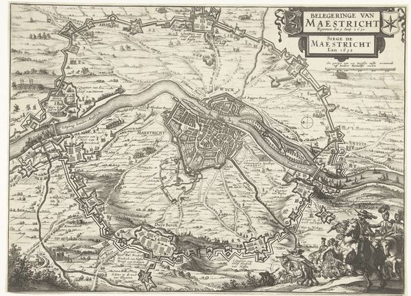
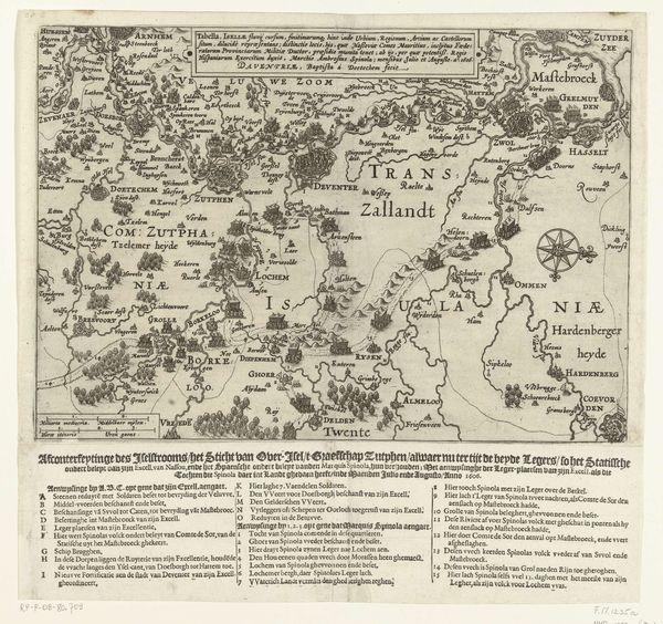
graphic-art, print, engraving
#
graphic-art
#
medieval
# print
#
line
#
cityscape
#
engraving
Dimensions: height 319 mm, width 370 mm
Copyright: Rijks Museum: Open Domain
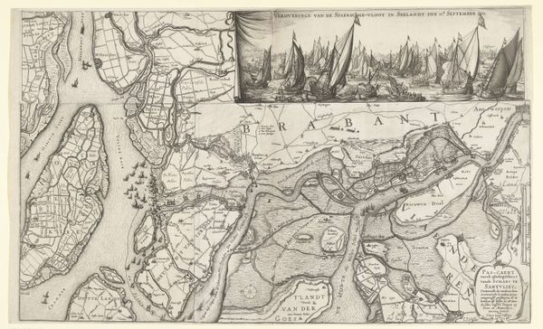
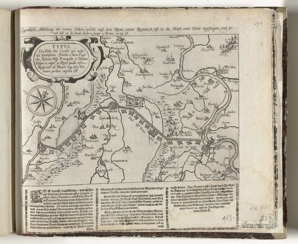
This is Nicolaes van Geelkercken’s “Vlaamse Alarm,” an engraved map from 1621, now held at the Rijksmuseum. It depicts a geopolitical landscape fraught with tension during the early stages of the Eighty Years' War. This map visualizes the precarious position of Flanders, caught between the Dutch Republic and Spanish-controlled territories. Van Geelkercken’s work provides a bird’s eye view, detailing fortifications and strategic waterways that were critical in this era of conflict. The detailed cartography isn't just about geographical accuracy; it’s about power, control, and the human cost of territorial disputes. The map is also a study in identity, reflecting a region and its people struggling to define themselves amidst religious and political upheaval. Each place name represents communities shaped and reshaped by ongoing conflict. The “alarm” in the title speaks to the constant state of alert, the personal anxieties of people living in a war zone. It’s a reminder that maps are never neutral; they are always telling a story, often one of struggle and survival.
Comments
No comments
Be the first to comment and join the conversation on the ultimate creative platform.
More like this