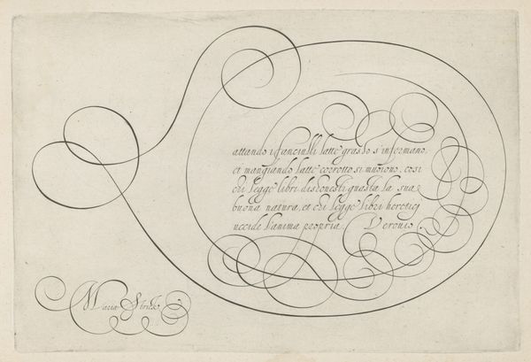
drawing, ink, pen
#
drawing
#
baroque
#
old engraving style
#
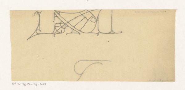
incomplete sketchy
#
hand drawn type
#
landscape
#
hand lettering
#
personal sketchbook
#
ink
#
hand-drawn typeface
#
fading type
#
sketchbook drawing
#
pen
#
cityscape
#
small lettering
#
initial sketch
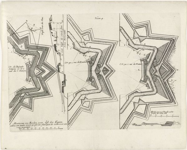
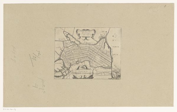
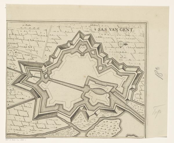
Dimensions: height 381 mm, width 408 mm
Copyright: Rijks Museum: Open Domain
In 1705, Samuel Du Ry de Champdoré created this detailed study of the fortifications of Zoutleeuw. As an artist and military engineer during the Dutch Republic, Du Ry de Champdoré was tasked with visually mapping terrains for strategic planning and military campaigns. This drawing transcends its utilitarian purpose, acting as a symbolic representation of power and control during a period of intense geopolitical tension in Europe. The carefully rendered lines and geometric forms reflect a society deeply entrenched in hierarchical structures. The act of mapping, after all, is an act of claiming space. Consider the labor, often coerced, required to construct such fortifications, and the human cost of the conflicts they were designed to withstand. The artist, as a member of the elite, was both a beneficiary and a perpetuator of this system. The emotional resonance lies in the stark contrast between the precision of the drawing and the chaos of war. It reminds us of the complex relationship between those who design the strategies and those who execute them.
Comments
No comments
Be the first to comment and join the conversation on the ultimate creative platform.
More like this